Three days in Cayo is enough time to see the district properly, provided you are not waiting on shuttle schedules. Cayo is spread out. The Maya sites sit west of San Ignacio, the waterfalls sit south in the Mountain Pine Ridge, the river valleys run north toward Bullet Tree, and the good grocery shopping is east in Spanish Lookout. With a vehicle parked outside your room, all of that becomes a loose set of choices rather than a fixed booking. Without one, most days start at someone else's pick-up time.
This itinerary assumes you land at Philip Goldson International Airport, collect a vehicle, and base yourself in or around San Ignacio. Adjust freely — the point is the shape of the three days, not the minute-by-minute.
Getting to San Ignacio from the airport
The drive from the international airport to San Ignacio runs roughly two to two and a half hours, depending on traffic through Belize City's outskirts and whatever road work is under way on the George Price Highway. It is a paved, well-signed route and the only real complications are speed bumps through villages and the occasional slow truck.
If you land in the afternoon, do not try to add a site visit on day one. Drive, settle in, eat, and start fresh. Our team can meet you at the airport with the vehicle, or at the San Ignacio office on Benque Viejo Road if you are coming in by shuttle — the full list of pick-up points is on the contact page.
First-time visitors should also read the practical Belize travel notes before arriving: entry requirements, the two-currency system, fuel, and what Belizean driving actually feels like.
Day 1: San Ignacio town, Cahal Pech and the Mopan valley
Start slow. San Ignacio is a working market town, not a resort strip, and an hour wandering Burns Avenue and the market area tells you more about Cayo than any brochure. If your trip includes a Saturday, the market is at its biggest in the morning — produce, cacao, hot food, household goods.
Cahal Pech sits on the hill directly above town, a short drive up a steep residential road. It is a compact Maya site with tight plazas and corbelled passageways, and it takes about an hour to walk. Entrance fees are collected at the gate; check the current rate when you arrive.
In the afternoon, drive out toward Bullet Tree Falls and the Mopan River, roughly fifteen to twenty minutes northwest on a paved road that turns rough in places. There are riverside spots to swim and eat, and the valley light in the late afternoon is the reason most photographers end up out here.
Is San Ignacio a good base for Cayo?
Yes, for almost everyone. It sits at the junction of the western highway, the road to Benque and the Guatemalan border, and the back roads south into the Pine Ridge. Nearly everything in this guide is within about a ninety-minute radius. Belmopan works as an alternative base if you want to be closer to the Hummingbird Highway, but you lose easy access to the western sites.
Day 2: Xunantunich and the western edge
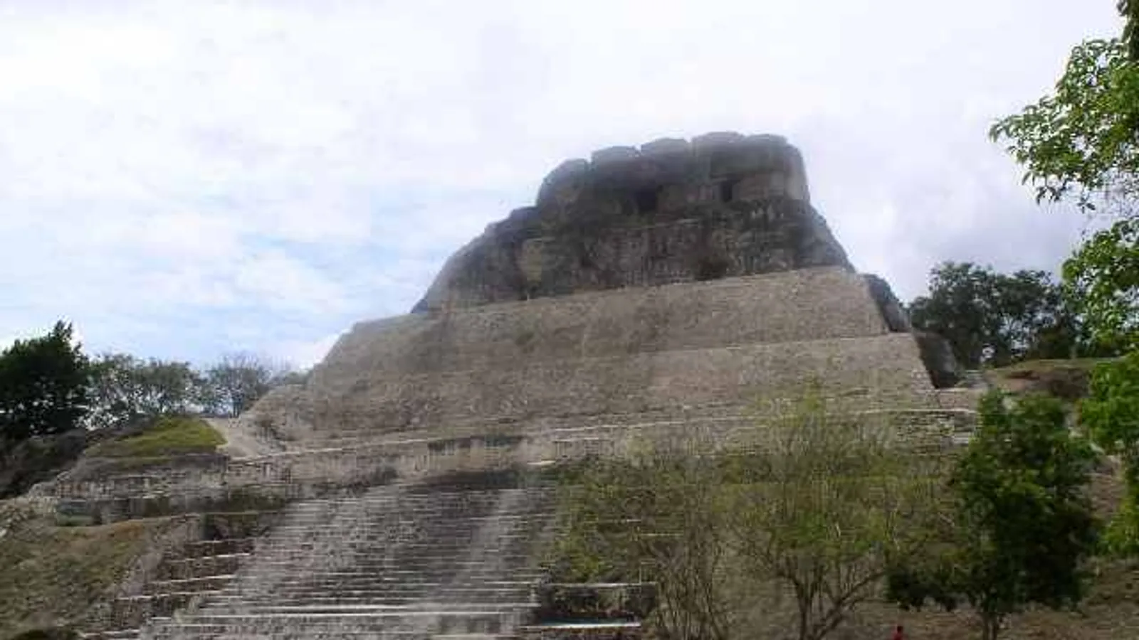
Xunantunich is the set-piece of any trip to Cayo. Drive west from San Ignacio about twenty to twenty-five minutes to the village of San Jose Succotz, where a hand-cranked ferry carries vehicles and foot passengers across the Mopan River. The ferry operates during daytime hours and can pause for river conditions, so go in the morning rather than late afternoon.
From the far bank it is a short, steep climb to the site. El Castillo, the main pyramid, is one of the tallest structures in the country and the view from the top takes in the Mopan valley and across into Guatemala. Allow two to three hours including the climb and the frieze on the eastern side.
A few things worth knowing:
- The ferry is free to use, but tips for the operator are normal.
- There is almost no shade on the climb; go early.
- Howler monkeys are common in the trees near the car park.
- Parking on the far side is informal and close to the site entrance.
- Benque Viejo del Carmen, a few minutes further west, is the last town before the Guatemalan border.
For the afternoon, you have options. The Belize Botanic Gardens and the Macal River valley sit south of the highway on a mix of paved and gravel roads. Barton Creek Cave, reached by a rougher track off the Chiquibul Road, is a canoe trip through a river cave run by local guides. Or simply head back to town, visit the green iguana project, and have an early night before the biggest driving day.
What about Tikal from Cayo?
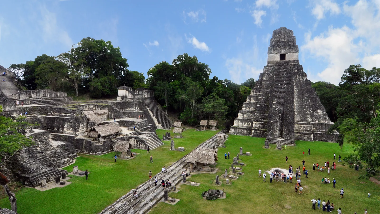
Tikal is in Guatemala, about two hours past the border at Benque. It is very doable as a long day or an overnight. If you want to take a rental vehicle across, you need prior written consent from us — ask when you make the reservation request, not on the morning you plan to cross, as paperwork and insurance arrangements take time.
Day 3: Mountain Pine Ridge waterfalls and caves
The Mountain Pine Ridge Forest Reserve is the day that most justifies having your own vehicle. Two main approaches climb from the highway — the Georgeville road and the Cristo Rey road through San Antonio — and both turn to loose limestone gravel once you are in the reserve. Expect washboard, dust in dry season, and slick clay patches after heavy rain.
A sensible loop inside the reserve covers Rio On Pools, where granite shelves form natural slides and swimming pools, and Rio Frio Cave near Douglas Da Silva, a vast river-cut cavern you can walk straight into. Big Rock Falls involves a steep staircase down to the plunge pool. Hidden Valley Falls, often called Thousand Foot Falls, is a viewpoint rather than a swim.
Caracol, the largest Maya site in Belize, lies well beyond the reserve on a long and sometimes rough road. Access arrangements, including any escort or convoy requirements, have changed over the years — confirm the current situation with the reserve gate or your accommodation before committing the day to it. If you do go, treat it as a full day and start very early.
Actun Tunichil Muknal, the ATM cave, is the other classic third-day choice. It can only be visited with a licensed guide, cameras are not permitted inside, and the drive in from the highway involves an unpaved access road. Book the guide in advance; you drive yourself to the meeting point.
What vehicle suits Cayo?
For the highway, San Ignacio, Xunantunich and the Mopan valley, any of our small SUVs is comfortable and economical — a 2016 Jeep Patriot or 2015 Jeep Compass handles those roads without drama.
If the Mountain Pine Ridge, Caracol or the rougher cave access roads are on your list, take the extra ground clearance. The 2017 Jeep Cherokee is the usual choice for couples and small families; larger groups travelling together with luggage tend toward the seven and eight-seat SUVs. The full line-up with daily and weekly rates is on the fleet page, and rates drop on rentals of seven days or more.
Plan for
- Swimwear and a quick-dry towel in the vehicle every day
- Closed shoes with grip for cave floors and waterfall staircases
- Cash in small Belize dollar notes for ferries, gates and village stalls
- Water for the whole day, especially in the Pine Ridge where there are no shops
- A full tank before heading into the reserve
- Insect repellent and sun protection, even on cloudy days
- Offline maps, since mobile signal drops out in the hills
Fitting it all together
Three days in Cayo works best if you keep one half-day loose. Rain, a closed road, or a recommendation from someone at breakfast will change your plan, and that flexibility is exactly what a vehicle buys you. Drive in daylight where you can, give livestock and cyclists room, and slow early for the speed bumps at village edges.
When you have your dates, send us a reservation request. There is no online payment and no booking fee — our family confirms availability and the price with you directly by phone or email, and we will have the vehicle ready wherever you are starting from.
Frequently asked questions
How many days do you need in Cayo, Belize?
Three full days covers the headline sights comfortably: San Ignacio and Cahal Pech, Xunantunich and the Mopan valley, and either the Mountain Pine Ridge waterfalls or a guided cave trip. Four or five days lets you add Caracol, Tikal in Guatemala, or slower river days without rushing. Fewer than three days means choosing between the Maya sites and the Pine Ridge.
Do you need a 4x4 to drive in Cayo?
Not for the highway, San Ignacio, Xunantunich or the main village roads, which are paved or well-graded. Higher clearance is genuinely useful for the Mountain Pine Ridge Forest Reserve, the Caracol road and some cave access tracks, which are loose gravel and can be slick after rain. Tell us where you plan to go when you request a reservation and we will suggest a suitable vehicle from the fleet.
Can I drive a rental vehicle from Cayo to Tikal in Guatemala?
Yes, with prior written consent from Cayo Auto Rentals arranged before your trip. The border at Benque Viejo del Carmen is about half an hour west of San Ignacio, and Tikal is roughly two hours beyond it. Ask about the crossing when you send your reservation request, as the paperwork and insurance arrangements cannot be done at short notice.
Where can I pick up a rental vehicle for a Cayo trip?
Pick-up and drop-off are available anywhere in Belize, including Philip Goldson International Airport, Belize City, Belmopan and the San Ignacio office at 89 Benque Viejo Road. Many visitors collect at the airport and drive straight west, which takes roughly two to two and a half hours depending on traffic and road work. The office is open 8:00 AM to 6:00 PM Monday to Saturday and closed Sundays.