Featured · Maya Sites
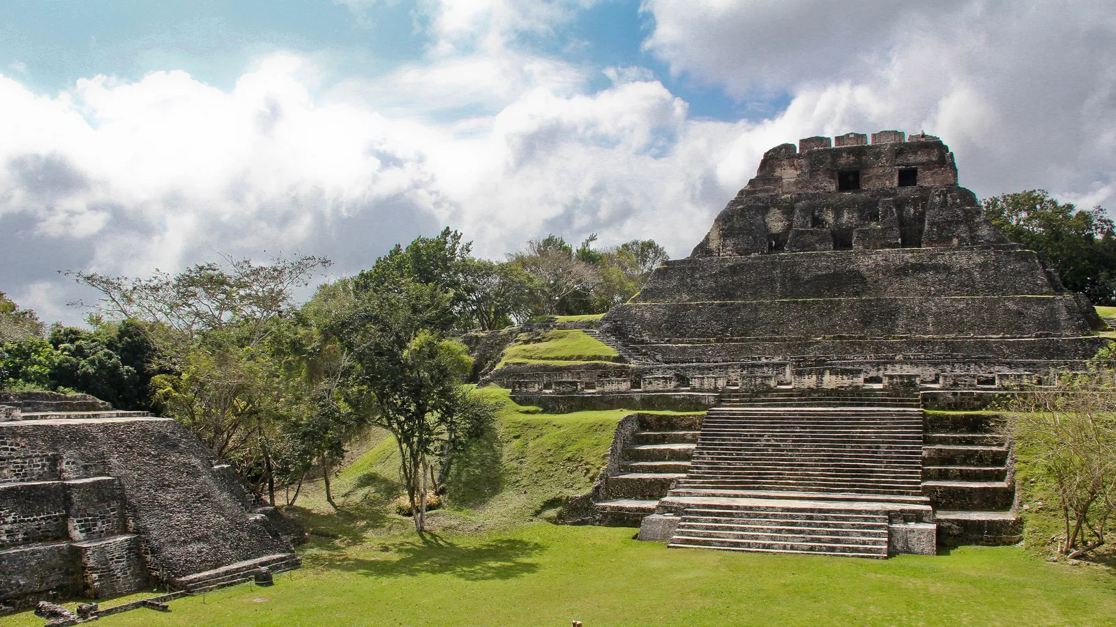
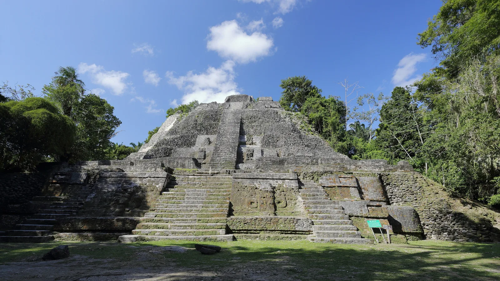
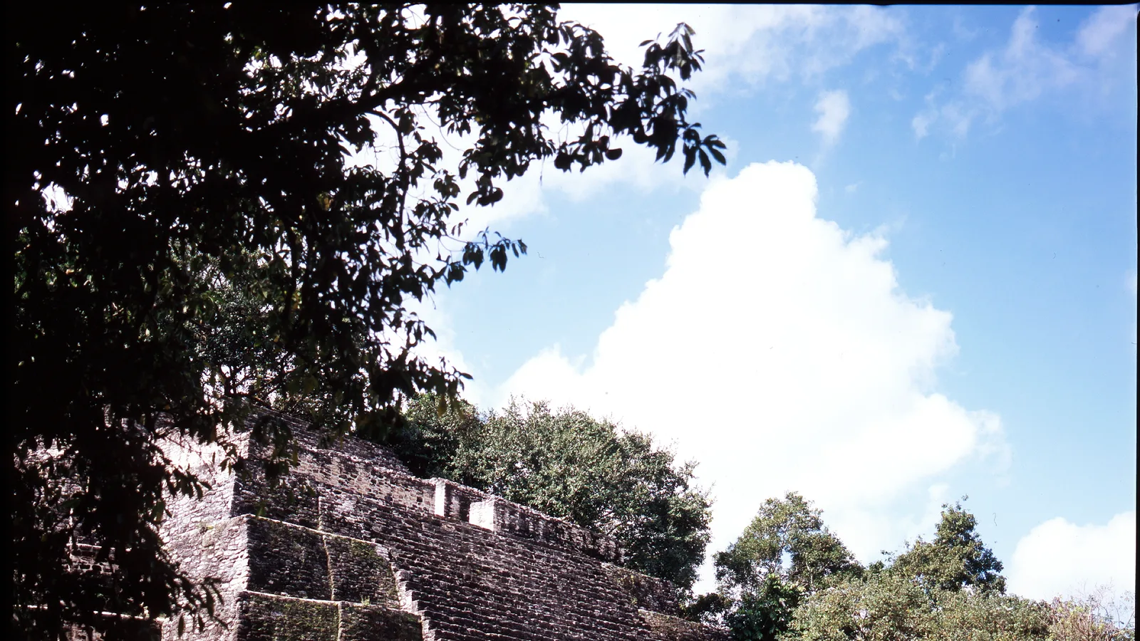
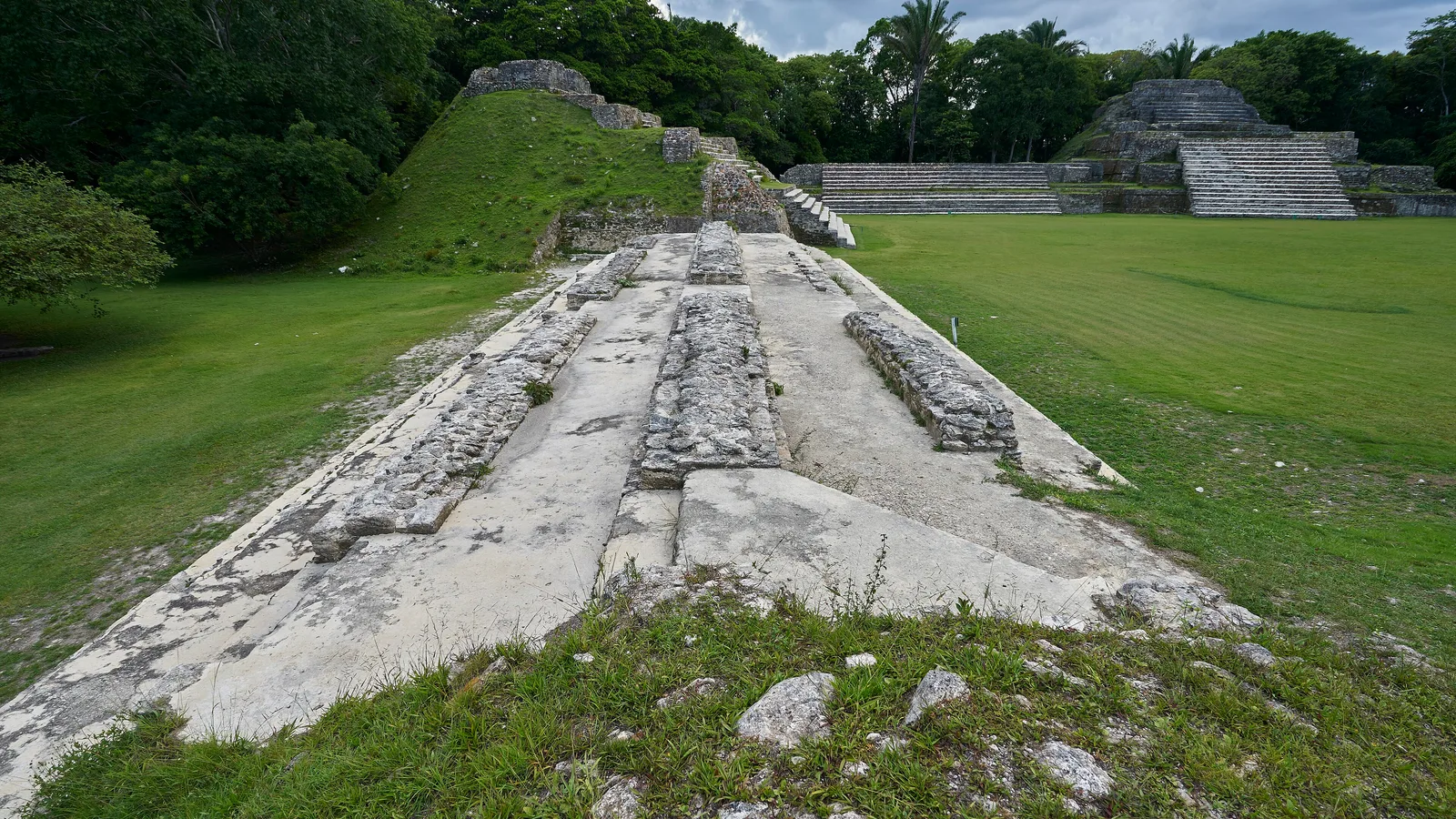
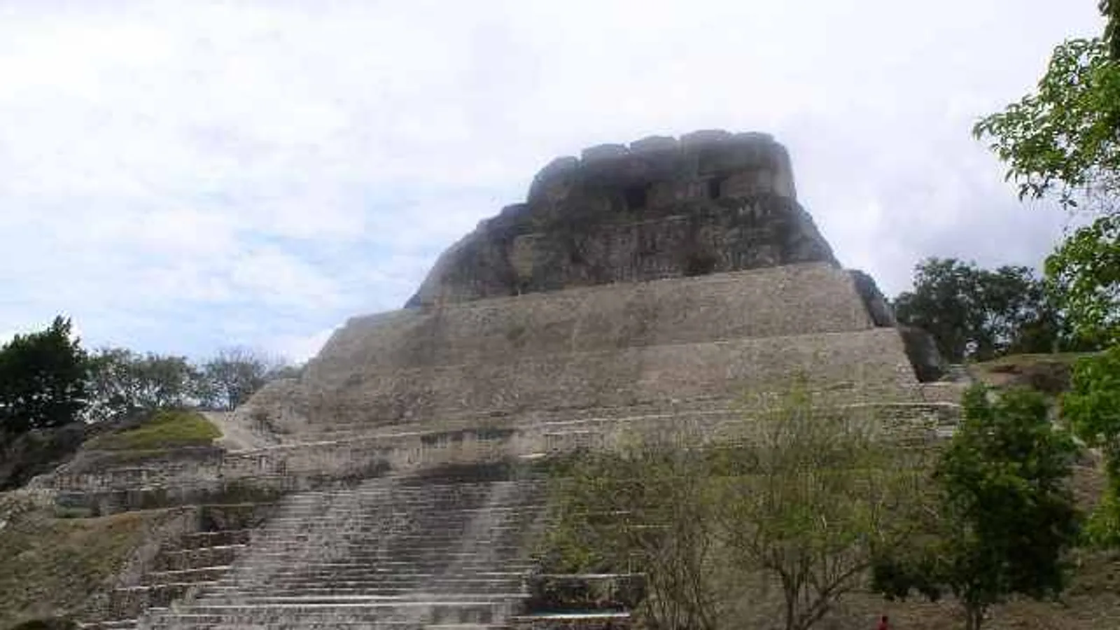
Xunantunich: A Driving Guide to Belize's Ferry Maya Site
How to reach Xunantunich under your own steam: the hand-cranked ferry at San José Succotz, the climb to El Castillo, and what to plan for on the drive from San Ignacio.

Driving guides, Maya sites, road trips and practical travel tips for Belize — written by the family behind Cayo Auto Rentals in San Ignacio.
Featured · Maya Sites
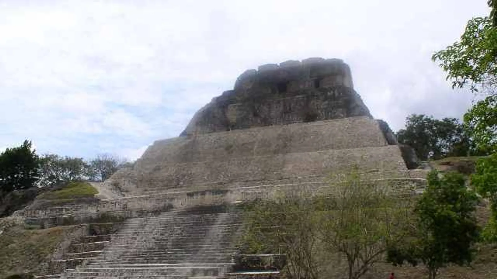
How to reach Xunantunich under your own steam: the hand-cranked ferry at San José Succotz, the climb to El Castillo, and what to plan for on the drive from San Ignacio.
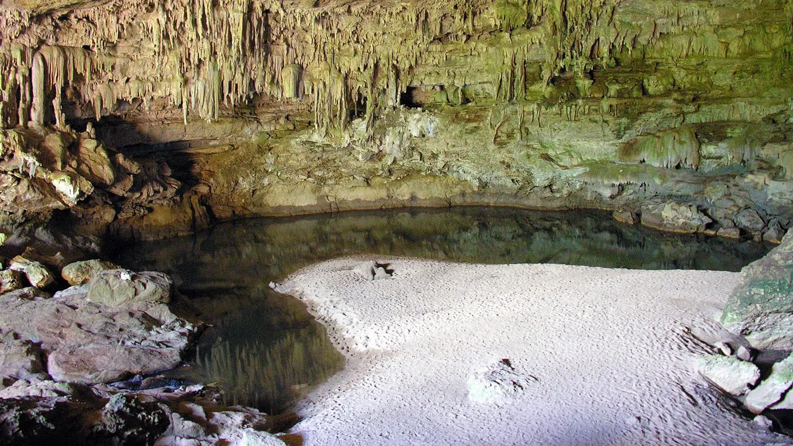
Everything a self-driver needs for cave tubing at Nohoch Che'en: finding the Mile 37 turn-off, the feeder road, parking, the walk in, the float itself and how it compares to Belize's walk-in caves.
Practical planning for tour groups, mission teams and family reunions travelling Belize in a 12-seat van, from luggage maths to which roads suit a long wheelbase.
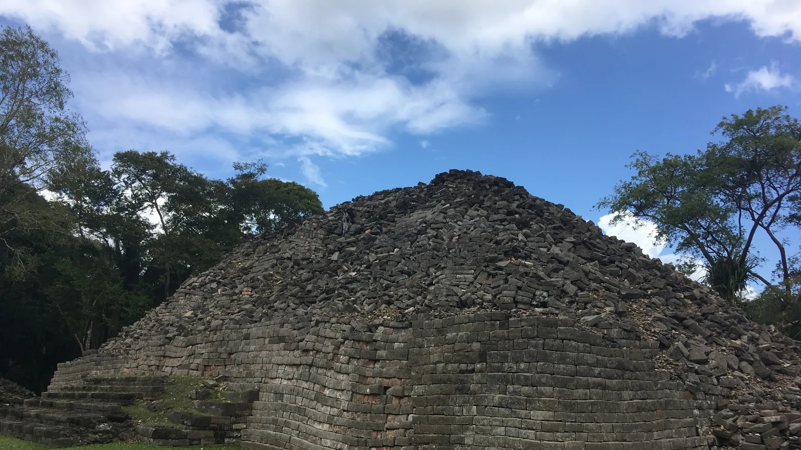
Which Belizean Maya sites you can realistically drive to, what the access roads are like, and how to group them into a route that works in a few days.
A practical route for birdwatching in Belize by vehicle, from the Crooked Tree lagoons through Cayo's forests to the quiet roads of Toledo, with timing and driving notes.
Kid-friendly stops, realistic driving times and practical advice on choosing an SUV or van for a family road trip in Belize, from a family-run rental company in San Ignacio.
A practical packing checklist for driving Belize: documents, clothes for three climates, cave and river gear, and the small kit that should live in the vehicle.
Rain does not cancel a Belize road trip. Here is which highways stay comfortable through the wet months, which roads soften, and how to time your days around afternoon showers.
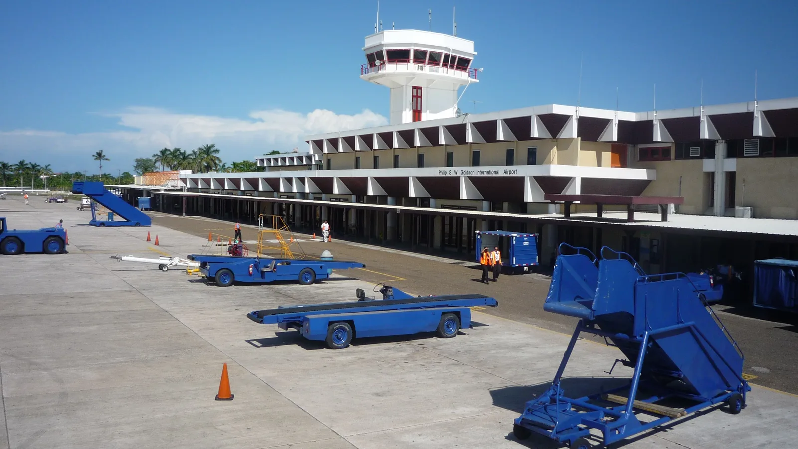
What actually happens when you pick up a rental vehicle at Belize's international airport, and how the drive west to San Ignacio and Cayo unfolds, step by step.
A plain guide to driving in Belize: the speed bumps nobody warns you about, how roundabouts work, where to fuel up and the courtesies local drivers expect.
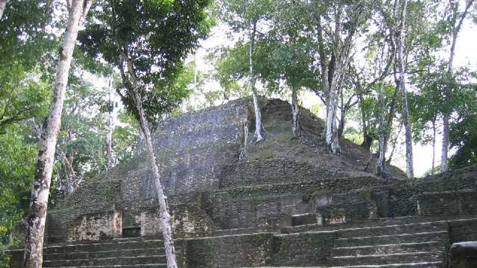
ATM, Barton Creek, St Herman's and Rio Frio are four very different cave experiences within a couple of hours of San Ignacio. Here is how they differ and how to drive to each.
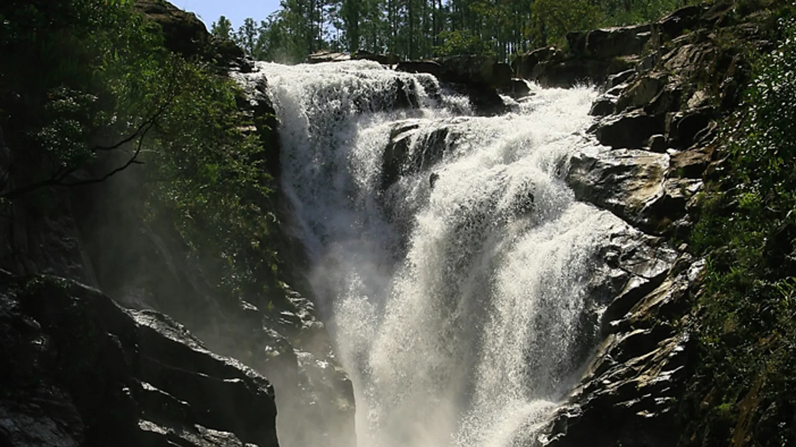
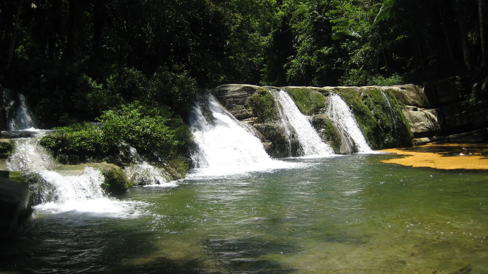
A district-by-district roundup of the Belize waterfalls you can actually reach by road, with honest notes on surfaces, clearance and how long each drive really takes.
A realistic day-by-day plan for three days in Cayo with your own vehicle: San Ignacio, Xunantunich, the Mopan valley, caves and Mountain Pine Ridge.
A week is enough to see the Maya west, the cave country, the Hummingbird Highway and the southern coast. Here is how to plan the drive from San Ignacio.
The road between the international airport and San Ignacio passes savanna, river forest and some of Belize's best roadside wildlife stops. Here is how to drive it properly.
A heritage walk, a man-made beach and a marina sit a few miles out of Belize City on the Western Highway. Old Belize is a sensible way to spend your first hours in the country.
A practical plan for Belize City in a day with your own vehicle: the Swing Bridge over Haulover Creek, the Museum of Belize, a short walking loop and honest advice on where to park.
Two of northern Belize's most important Maya sites sit on private land among sugar cane, with no ticket booth and no crowds. Here is how to find Cuello and Nohmul, and what to expect.
A practical guide to reaching Sarteneja, Belize's biggest fishing village, plus Shipstern Nature Reserve, the Pueblo Nuevo ferry and the roads that get you there.
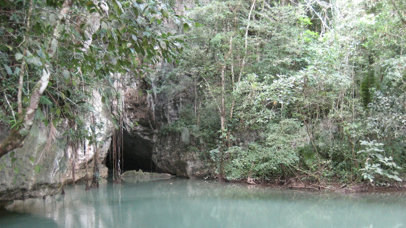
A practical guide to driving to Corozal in Belize's far north: the highway route, the Santa Rita ruins above town, and the rougher roads out to Cerros and Sarteneja.
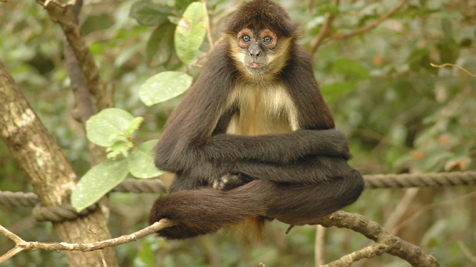
How to use Orange Walk Town as a base for Lamanai, the New River and the sugar country of northern Belize, with honest notes on roads, boats and timing.
Two very different Maya sites sit within an easy drive of each other in Toledo District. Here is how to combine Lubaantun and Nim Li Punit in a single unhurried day.
How to find Blue Creek Village in Toledo, what the walk to Hokeb Ha cave is actually like, and why the last few miles of road decide which vehicle you want.
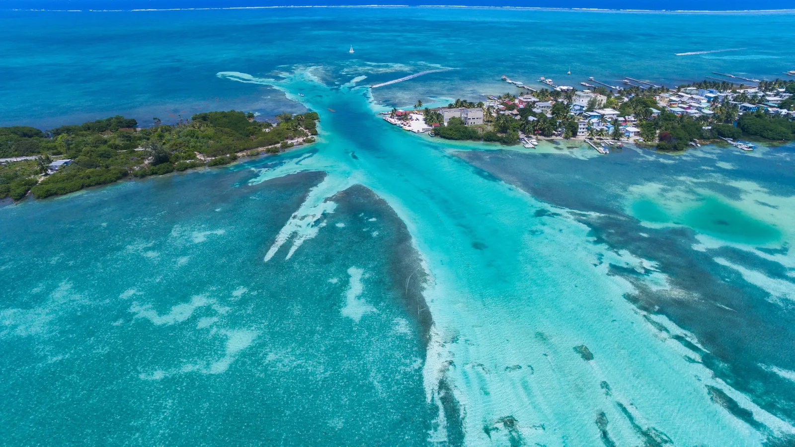
A short waterfall, a deep green plunge pool and a village-managed park in the far south of Belize. Here is how to drive to Rio Blanco National Park and what to expect when you get there.
Toledo is the furthest district from almost everywhere in Belize, and that is exactly the point. Here is how the drive south to Punta Gorda works, and what to do once you arrive.
A half day of coastal boat ride, riverbank forest and howler monkeys, plus how to plan the drive down the Placencia peninsula around it.
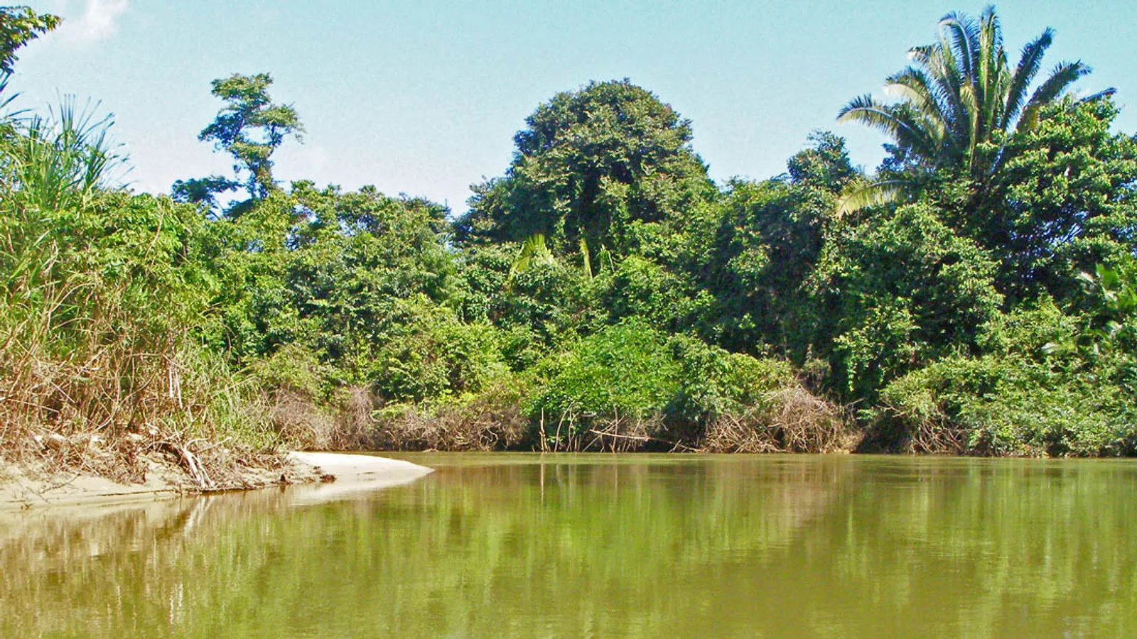
South of Hopkins the pavement thins out and the Sittee River takes over: herons, kingfishers, crocodiles and a slow village life. Here is how to drive it and what to plan for.
Dangriga is the Garifuna capital of Belize and the natural halfway stop between Belmopan and the southern coast. Here is the drive, the town and what to do with a few hours.
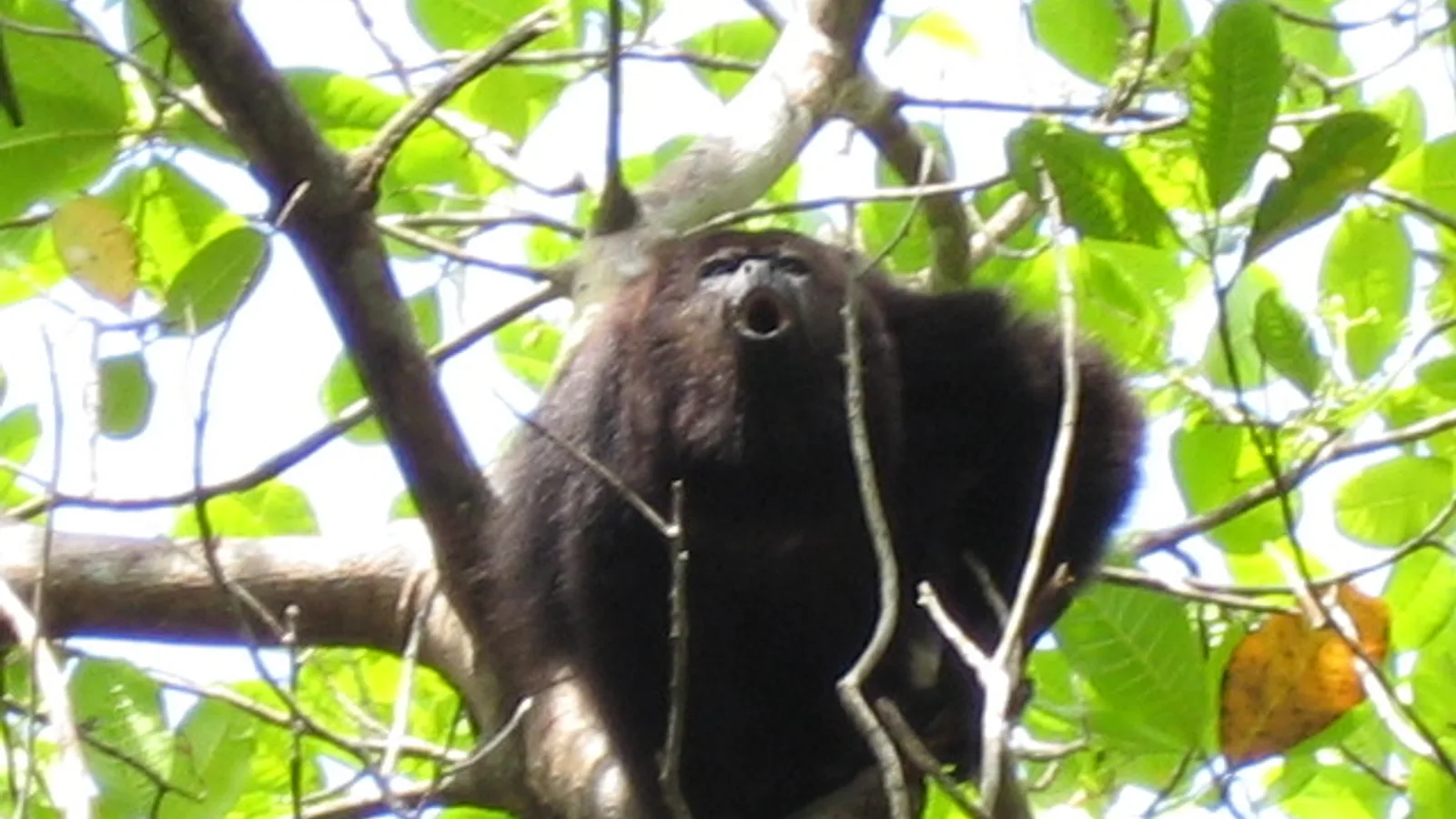
Black howler monkeys live in the trees above a string of Belize River villages at Bermudian Landing. Here is how to drive there, when to go and what the road is like.
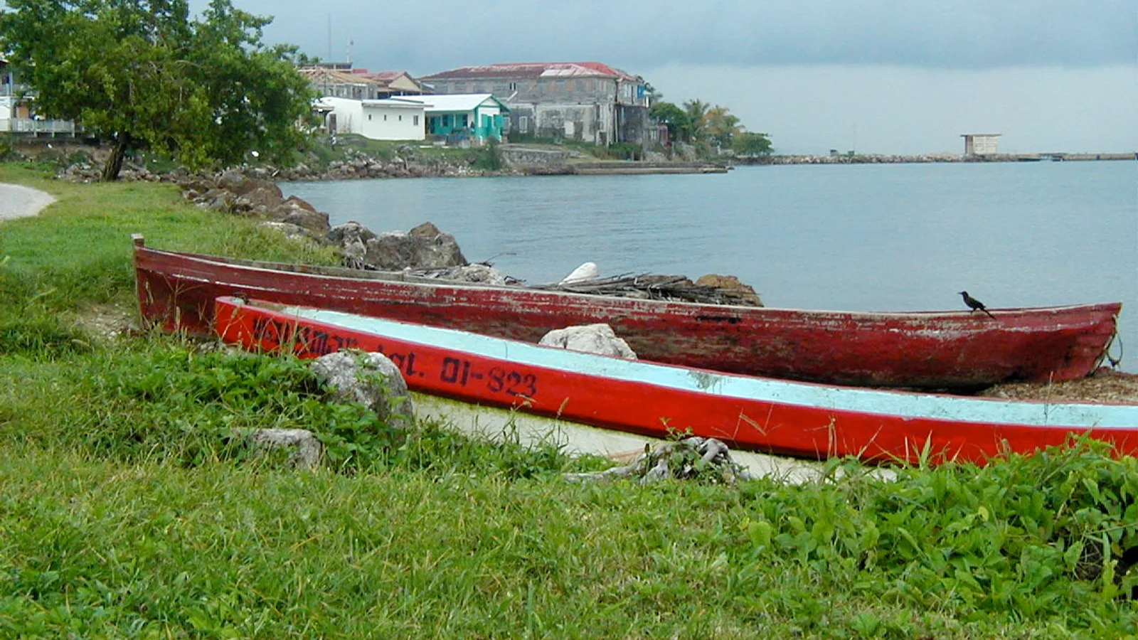
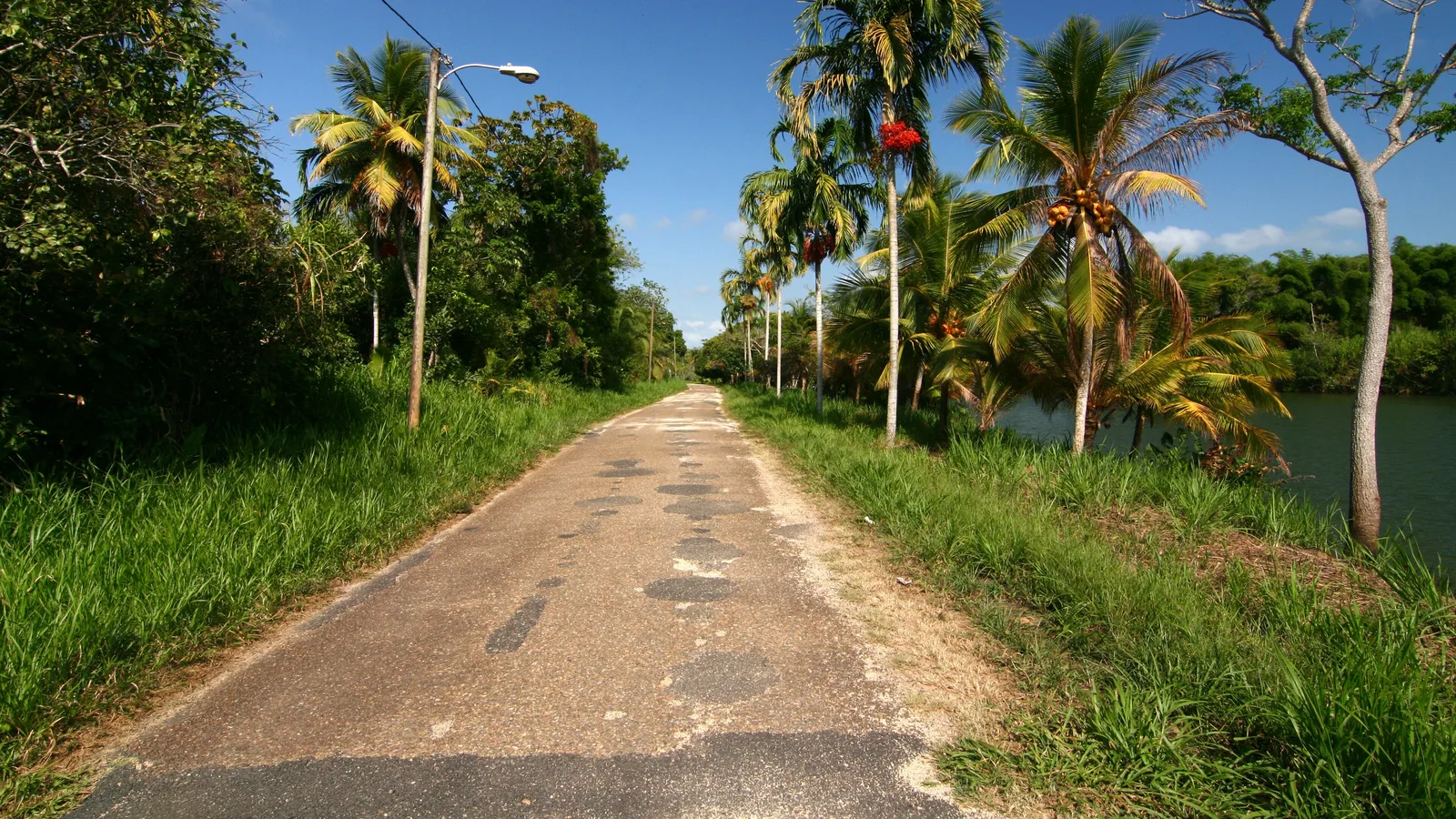
A Creole village on a thin finger of land in the Southern Lagoon, reached by Belize's unpaved Coastal Road. Here is what the drive is like and what to do when you arrive.
Three waterfalls, low Maya mounds and a rainforest trail network a short drive inland from Hopkins. Here is how to find the turnoff and what the park road is like.
A karst lake that once drained overnight, a handful of cave mouths and a rough limestone road off the Hummingbird Highway. Here is how to reach Five Blues Lake under your own steam.
Belmopan is small, quiet and easy to drive. Here is what is actually worth stopping for, and why the capital makes a practical base for central Belize day trips.
A practical guide to driving into Spanish Lookout, the Mennonite farming community in Cayo: the river crossing, the gravel grid, and the dairy and hardware stops worth the detour.
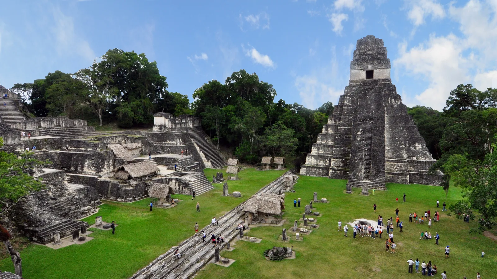
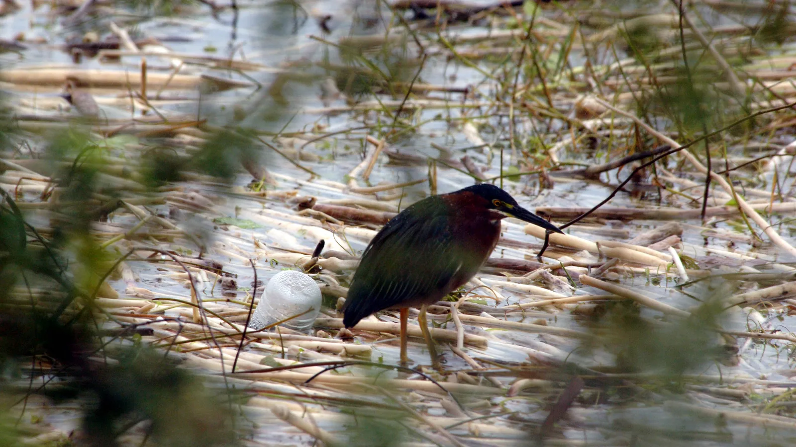
A short guided tour with hatchlings, juveniles and a few very relaxed adults, right in San Ignacio town. It fits neatly into a morning before a longer drive.
A hilltop Maya palace, the biggest Saturday market in Belize and a town you can walk end to end. Here is how to spend a day in San Ignacio around Cahal Pech.
A practical guide to Barton Creek Cave in Cayo: the route out through Mennonite farmland, what you see from the canoe, and why the last few miles reward a higher vehicle.
Two of the easiest stops in Belize sit minutes apart on the George Price Highway. Here is how to plan a relaxed family day at the Belize Zoo and Guanacaste National Park.
How to handle Belize City water taxi parking when you have a rental vehicle, and how to plan a Caye Caulker or San Pedro stay without paying for days you are not driving.
What it actually takes to drive a rental vehicle from San Ignacio to Tikal: written consent from us, the Benque crossing, exit fees and the road on the Guatemalan side.
Crooked Tree Wildlife Sanctuary rewards birders who arrive at first light. Here is how the dry season works, what the causeway is like, and how to time the drive from Belize City.
Lamanai sits on the New River Lagoon in Orange Walk District, reachable by boat or by a long unpaved road to Indian Church. Here is how to choose, and what the drive is really like.
Altun Ha sits close enough to Belize City and the international airport to be a genuine half day. Here is the drive, the Sun God temple and where to cool off afterwards.
What to expect at the world's first jaguar preserve: the waterfall trails, the animals you will realistically spot, and the unpaved access road in from Maya Centre.
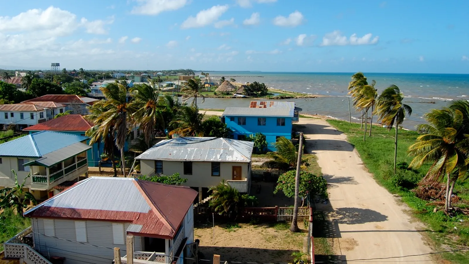
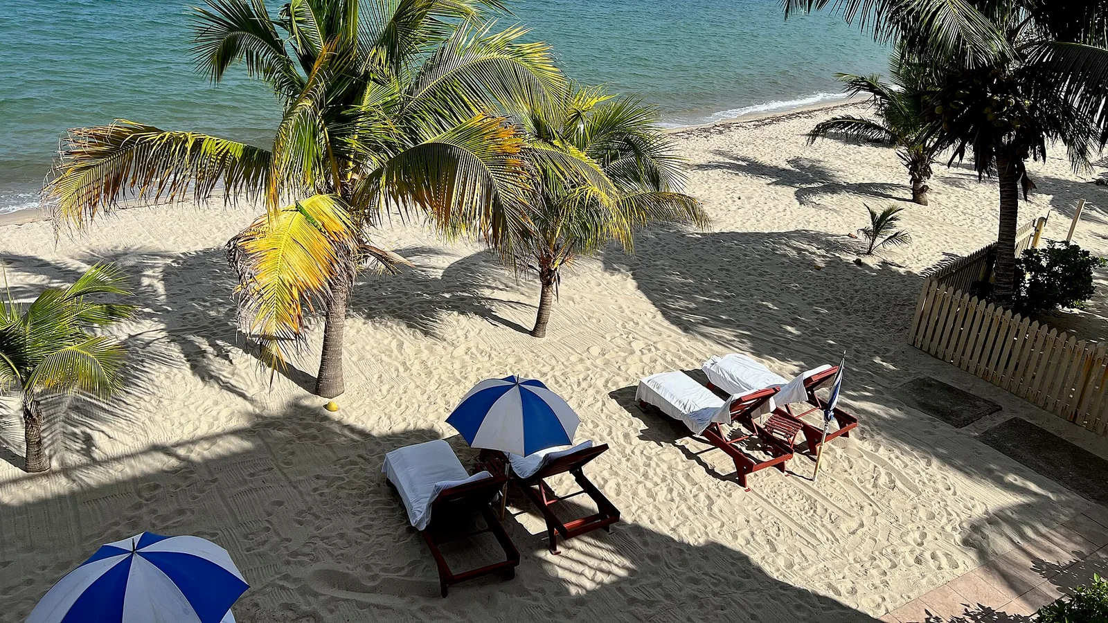
Hopkins is a long, slow Garifuna village strung along the Stann Creek coast. Here is the Southern Highway turn-off, typical road conditions and how to spend your days once you arrive.
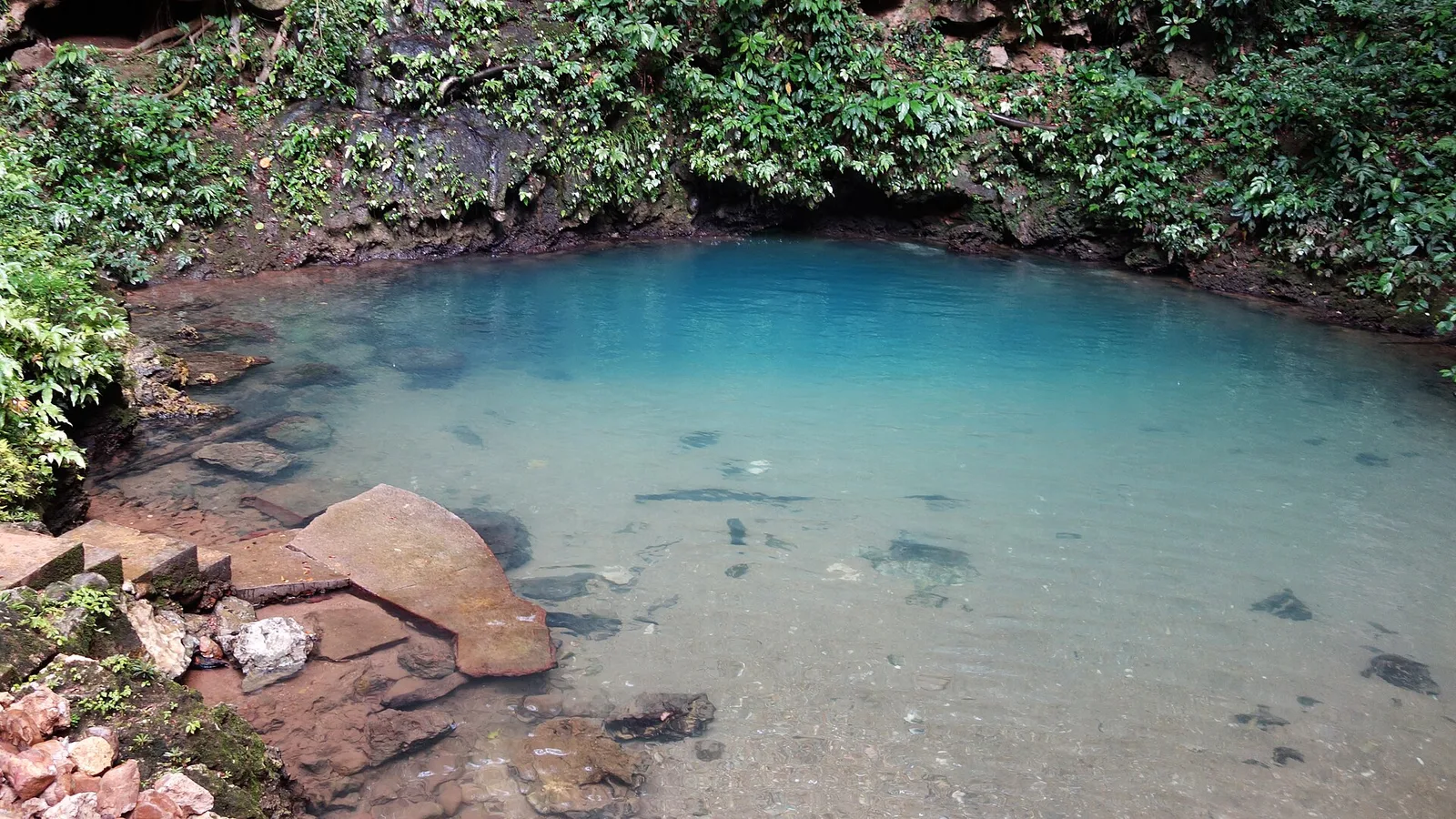
The inland blue hole and St Herman's Cave sit side by side on the Hummingbird Highway, roughly midway between Belmopan and Dangriga. Here is how to fit both into one easy drive.
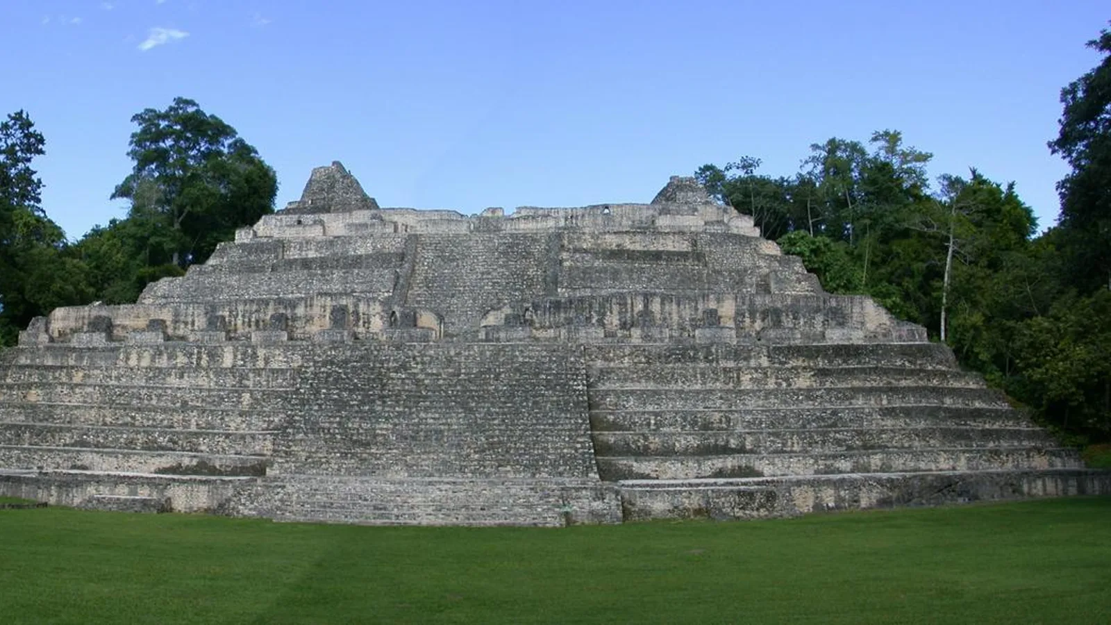
Caracol sits deep in the Chiquibul Forest, hours from the nearest village. Here is what makes Caana worth the drive, what the road is really like, and the vehicle you want under you.
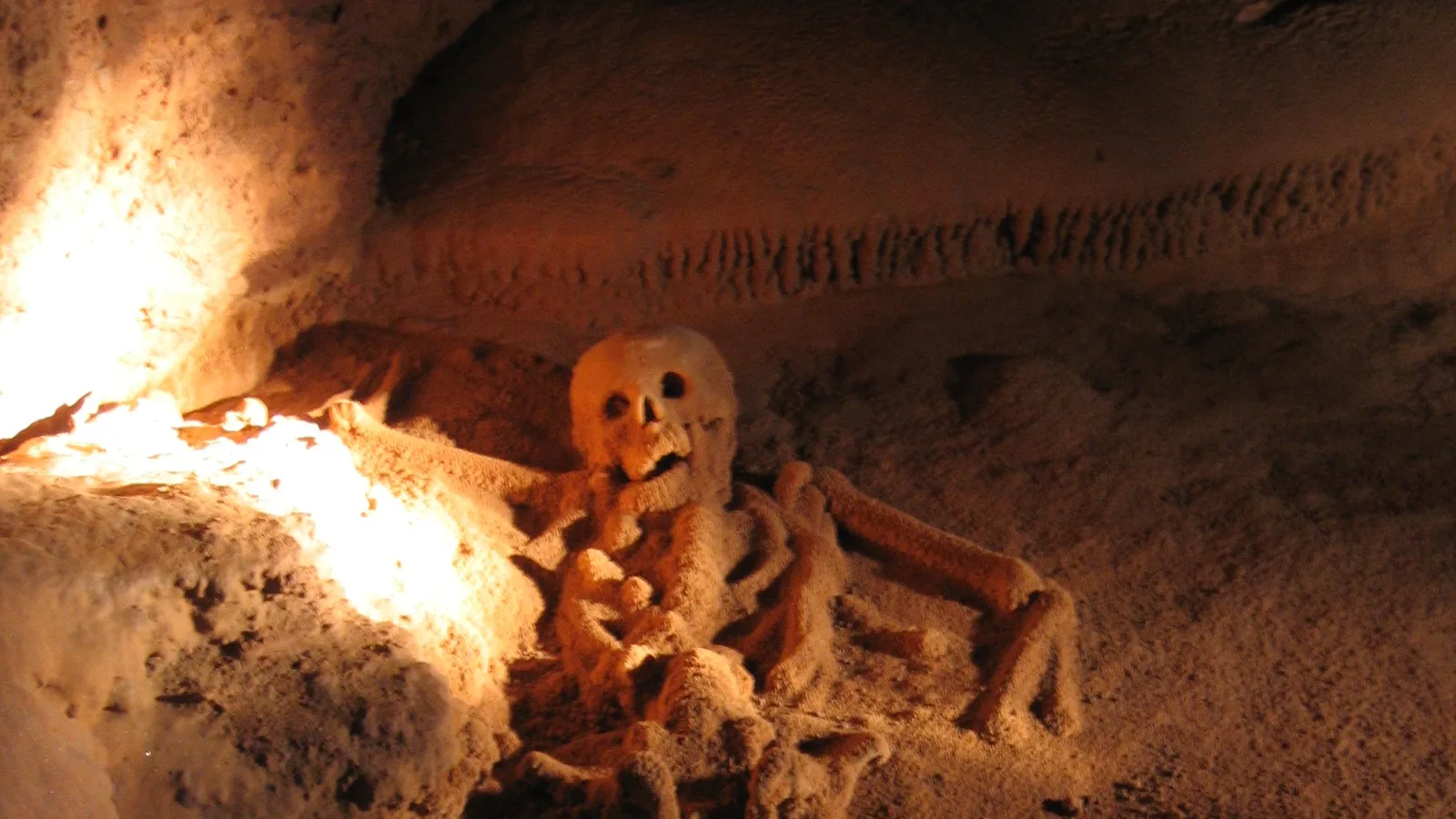
Actun Tunichil Muknal near Teakettle is a swim-in, climb-up, socks-only cave with Maya ceramics and human remains still in place. Here is the honest version of the day, and the drive in.
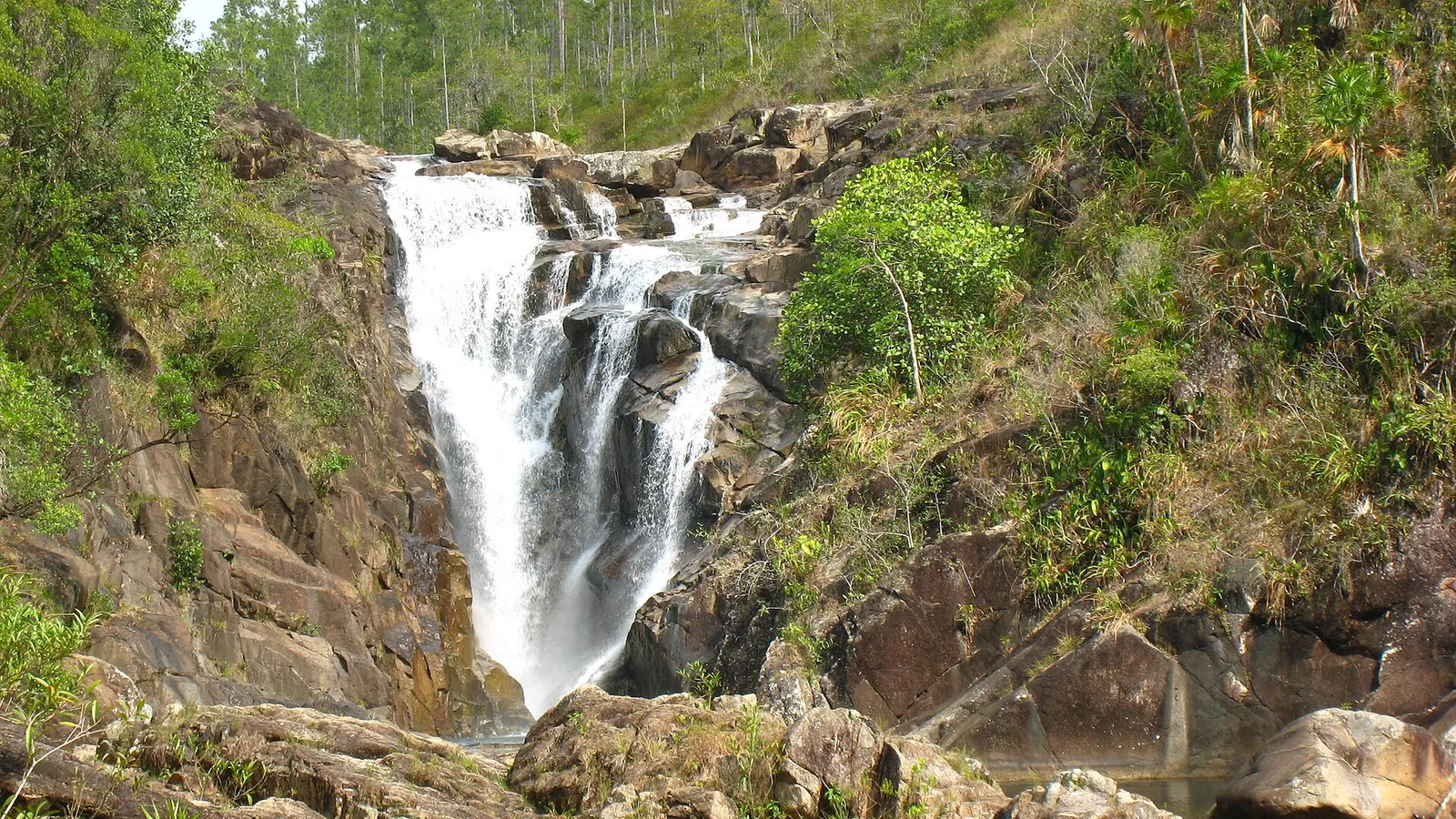
Big Rock Falls, Rio On Pools and Rio Frio Cave make a full, satisfying day in the Mountain Pine Ridge — if you have the right vehicle and leave early enough.
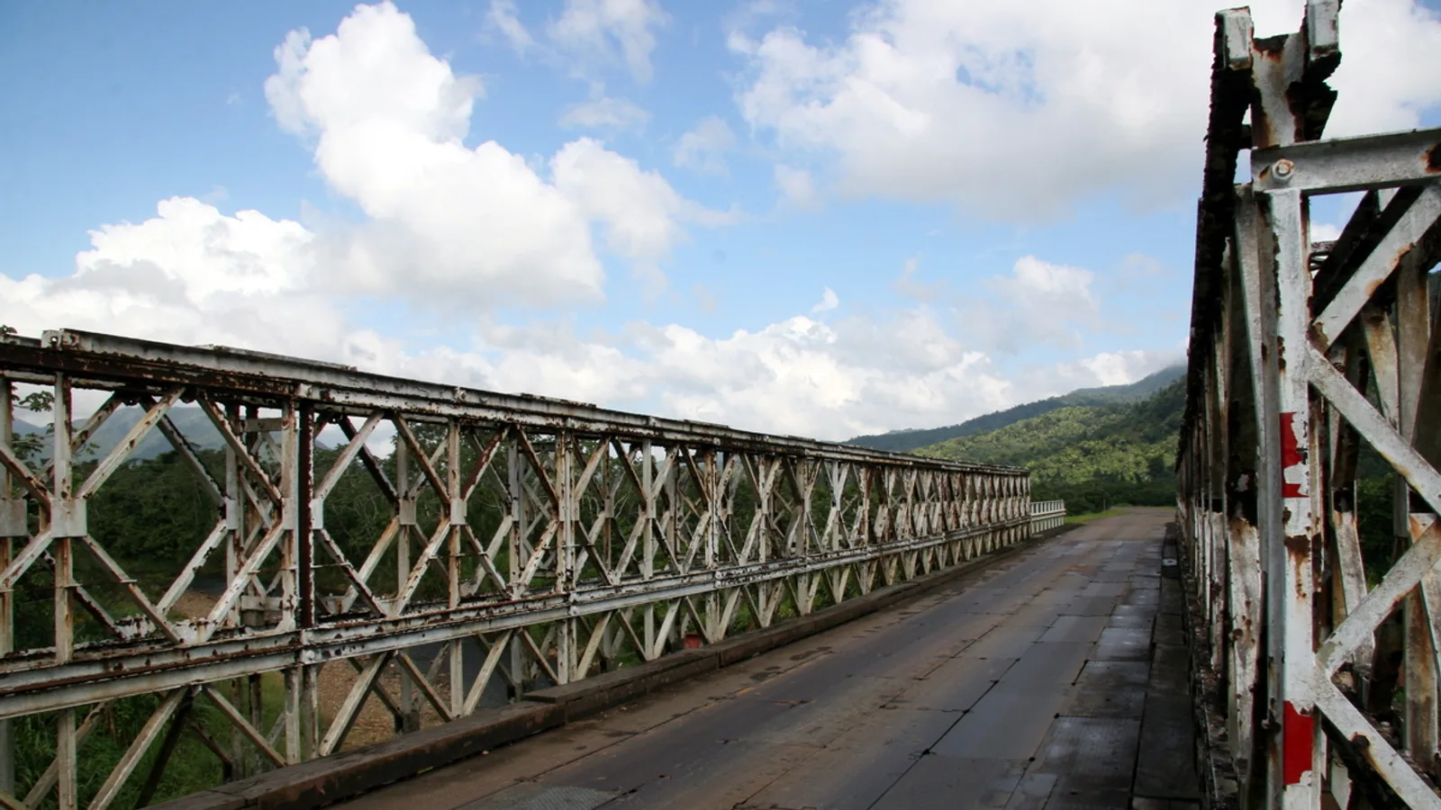
The Hummingbird Highway links Belmopan to Dangriga through limestone hills, citrus groves and cave country. Here is what to stop for and how to pace the drive.
What the drive south to Placencia is really like, from the Hummingbird Highway through the Stann Creek valley to the peninsula road, and how a vehicle changes the trip.
Cayo Auto Rentals is a family-owned vehicle rental company at 89 Benque Viejo Road in San Ignacio. Everything here comes from driving these roads ourselves: how long the run to Caracol really takes, when the Succotz ferry stops for high water, which turn-offs need ground clearance, and where to stop for lunch on the way back. Pick-up and drop-off can be arranged anywhere in Belize, including the international airport.