Belize has more accessible Maya architecture per square mile than almost anywhere in Central America, and the good news for independent travellers is that you can see most of the major Maya sites of Belize by road. A handful need a boat or a guide, a few need high clearance and a dry week, but the majority sit at the end of a signed turn-off with a car park and a visitor centre. The trick is knowing which ones cluster together, because driving from Corozal to Toledo chasing ruins at random will cost you days you do not have.
Here is how the sites group geographically, what the access roads are typically like, and how to shape a route that makes sense.
Which Maya sites in Belize can you actually drive to?
Cayo: the easiest cluster
If you only have a few days, base yourself in San Ignacio. Four significant sites sit within an easy radius.
Cahal Pech is inside San Ignacio itself, on a hill above town. You drive up, park, and walk into a compact, beautifully restored palace complex of plazas and corbelled passageways. It is the simplest ruin visit in the country and takes about an hour.
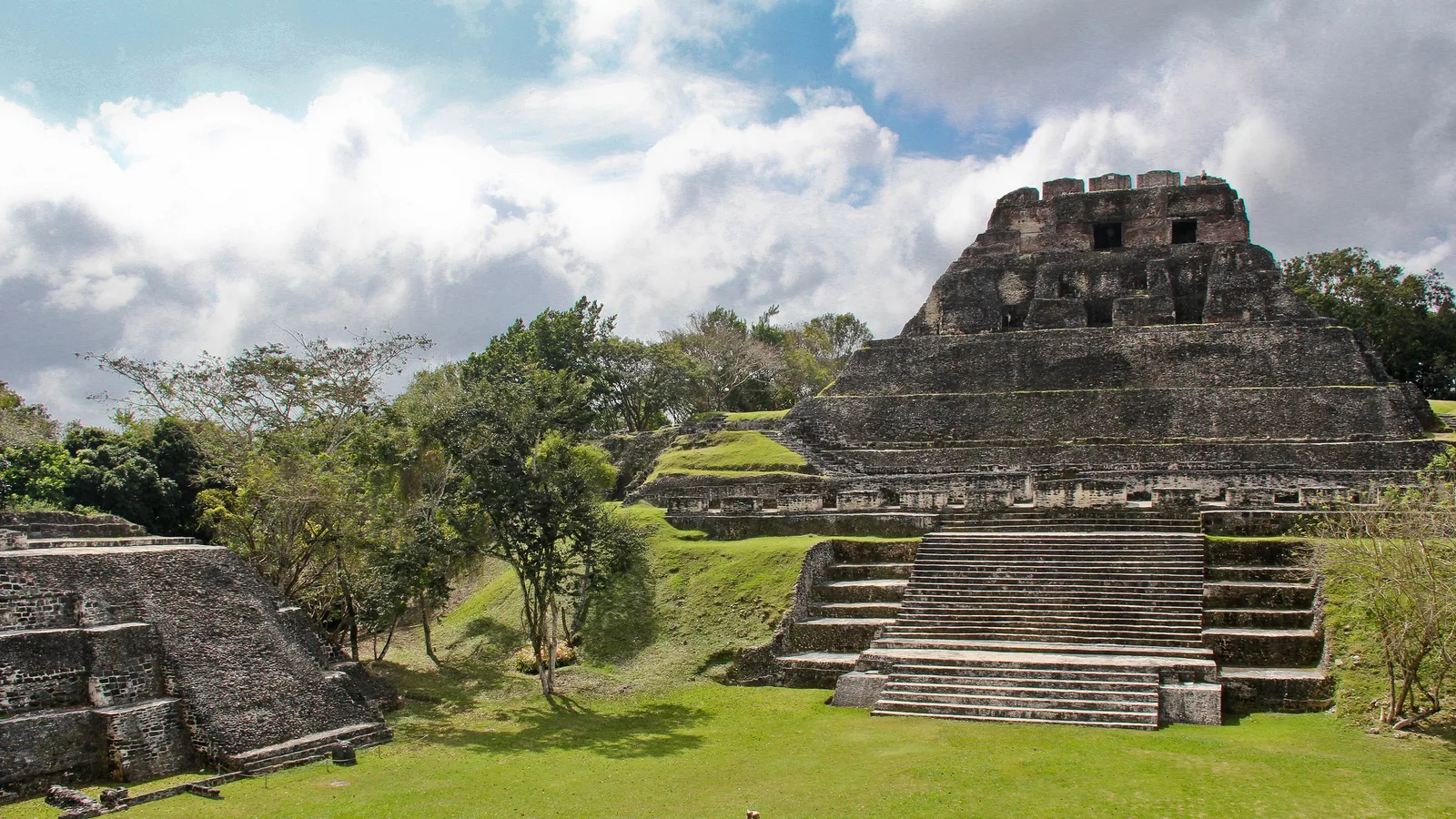
Xunantunich is roughly fifteen to twenty minutes west along the George Price Highway, at the village of San José Succotz. Getting there involves a short crossing of the Mopan River on a small hand-cranked ferry that carries vehicles during daytime hours. From the far bank it is a mile or so uphill to the car park. El Castillo, the main pyramid, gives you one of the best views in western Belize, with Guatemala in the distance.
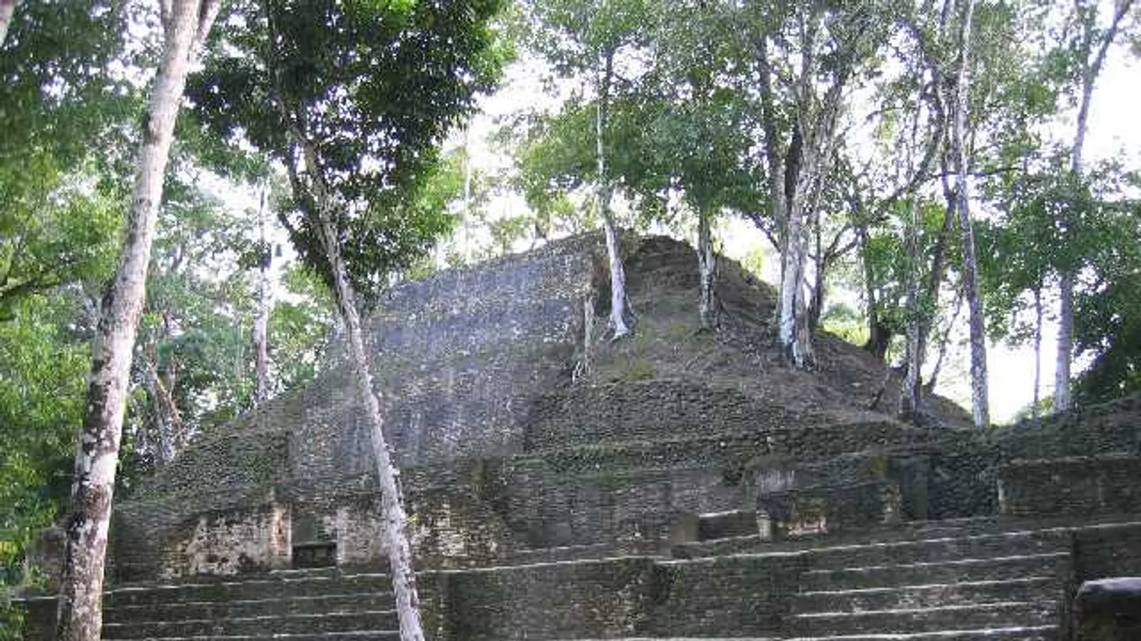
El Pilar lies north-west of San Ignacio past Bullet Tree Falls. The road is unpaved, climbs steadily, and turns slick and rutted after heavy rain. In dry conditions a standard SUV handles it; in the wet, think twice. El Pilar is deliberately left under forest cover, so it feels less like a monument and more like an archaeological reserve you are walking through.
Caracol is the big one, deep in the Chiquibul Forest Reserve beyond the Mountain Pine Ridge. Allow most of a day: it is typically two and a half to three hours each way from San Ignacio depending on road work and conditions, and the route has been under improvement in stages for years. Security arrangements, including escorted travel, have been in place at various times, so ask locally in San Ignacio before you set out. The reward is Caana, still one of the tallest structures in Belize, and the drive back past Rio On Pools and Rio Frio Cave is part of the day.
The north: Orange Walk and Corozal
Lamanai is the headline site in the north. Most visitors reach it by boat up the New River from Orange Walk Town, which is genuinely the better experience for wildlife. A road route does exist via San Felipe and Indian Church, but it is unpaved for a long stretch and unpleasant after rain.
Santa Rita sits on the edge of Corozal Town, a short, easy stop you can do in half an hour with the car parked nearby. Cerros, across the bay, is reached either by boat or by a longer road loop through Copper Bank involving a small ferry and rough surfaces.
Orange Walk also has two low-key sites, Cuello and Nohmul, both on private land where access depends on permission rather than opening hours. They are covered properly in our guide to Cuello and Nohmul, Orange Walk's quiet Maya sites, and they suit travellers who enjoy sites without crowds or signage.
Altun Ha and the Old Northern Highway
Altun Ha is the closest major site to Belize City, reached from the Philip Goldson Highway via the Old Northern Highway. The old highway's surface is patchy, with stretches of broken pavement and potholes, but it is passable in an ordinary vehicle if you drive slowly. Altun Ha is compact, well maintained and makes a straightforward half-day from Belize City or a stop on the way north.
Toledo: the southern circuit
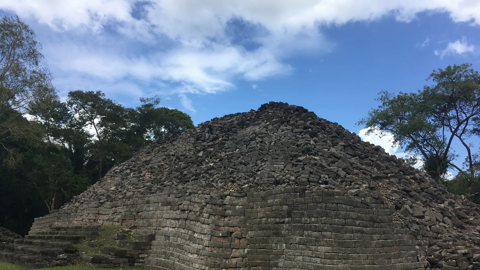
The far south is the most underrated ruins driving in Belize. Nim Li Punit sits just off the Southern Highway near Indian Creek, with a short paved spur and a small museum of carved stelae. Lubaantun, near San Pedro Columbia, is a few miles of unpaved road off the main route and is famous for its mortarless, close-fitted black slate construction. Uxbenka sits on a ridge further inland toward Santa Cruz.
Two of these pair neatly in a single day, as laid out in our guide to Lubaantun and Nim Li Punit.
How rough are the roads to Belize's Maya ruins?
In broad terms:
- Fully paved to the gate: Cahal Pech, Nim Li Punit, Santa Rita.
- Paved plus a short ferry or spur: Xunantunich, Lubaantun.
- Patchy pavement, slow going: Altun Ha via the Old Northern Highway.
- Unpaved, dry-season friendly, high clearance helpful: El Pilar, Uxbenka, the Copper Bank route to Cerros.
- Long unpaved forest road, full day: Caracol.
- Boat recommended over road: Lamanai.
Conditions change with the season and with maintenance work, so treat all of this as typical rather than guaranteed. Rain in Belize does not simply make roads wet; it turns clay and limestone surfaces into something quite different within an hour.
Plan for these before you go
- Cash in Belize dollars for entrance fees, which are collected at each visitor centre; check the current rate on arrival
- A full tank before Caracol, El Pilar or the Toledo back roads, as fuel is scarce once you leave the highways
- Closed shoes with grip for pyramid steps, which are steep and often damp
- Insect repellent, sun hat and more water than you think you need
- An offline map, since mobile signal drops out in the Chiquibul and inland Toledo
- An early start: most sites open in the morning and close mid-to-late afternoon, and gates close before you would expect
What vehicle suits a Maya ruins road trip?
For the paved-and-short-spur sites, almost anything works. For a route that includes El Pilar, Caracol or the Toledo interior, ground clearance matters more than four-wheel drive on most days, and both matter after rain. A mid-size SUV such as the 2017 Jeep Cherokee is the sensible middle ground: comfortable for long highway runs between districts, and capable enough on the forest roads. Larger groups travelling with guides and gear usually do better in one of the seven or eight seat vehicles in the fleet than in two small cars.
If you are new to driving here, our Belize travel information page covers entry requirements, licences, fuel, currency and the general rules of the road. Belize drives on the right, speed bumps appear without much warning in villages, and night driving between towns is best avoided.
Can you drive to Tikal from Belize?
Yes, and many visitors do. Tikal is roughly two hours from the Western Border crossing at Benque Viejo del Carmen, and the Guatemalan road to it is paved. Taking a rental vehicle across the border requires prior written consent from us, plus the usual border paperwork and fees paid at the crossing. Arrange the consent when you book rather than the morning you leave.
A sensible shape for a ruins route
Three days: Cahal Pech and Xunantunich on day one, Caracol on day two, El Pilar or a border day at Tikal on day three.
Seven days: add the north, with Altun Ha and Lamanai from an Orange Walk base, or swing south down the Hummingbird and Southern Highways for Nim Li Punit and Lubaantun before returning through the Maya Mountains.
When you have your dates and a rough route, send us a reservation request with the sites you hope to reach. We are a family business in San Ignacio, we drive these roads ourselves, and we will tell you honestly which vehicle suits your plan.
Frequently asked questions
Which Maya site in Belize is easiest to reach by car?
Cahal Pech is the easiest, since it sits on a hill inside San Ignacio town with a short paved access road and parking at the visitor centre. Xunantunich is almost as simple, needing only a short vehicle ferry crossing of the Mopan River at San José Succotz. Both can be done in a single morning from a San Ignacio base.
Do you need a 4x4 to drive to Caracol?
Four-wheel drive is not always essential, but ground clearance helps and conditions vary a great deal with weather and ongoing road work. The drive is typically two and a half to three hours each way from San Ignacio through the Mountain Pine Ridge and Chiquibul Forest Reserve. Security and access arrangements have changed over the years, so ask locally in San Ignacio before setting out.
Can I drive a rental vehicle from Belize to Tikal in Guatemala?
Yes, with prior written consent from Cayo Auto Rentals arranged before your trip. You will also need your passport, the vehicle paperwork and any fees collected at the Western Border crossing near Benque Viejo del Carmen. Request the consent at the time of booking rather than on the day you intend to cross.
Can you reach Lamanai by road instead of by boat?
There is a road route from Orange Walk Town via San Felipe and Indian Church, but a long section is unpaved and becomes difficult after heavy rain. Most visitors take the New River boat trip from Orange Walk, which also offers good chances of seeing birds, crocodiles and howler monkeys. Driving to Orange Walk and joining a river tour there is often the better combination.