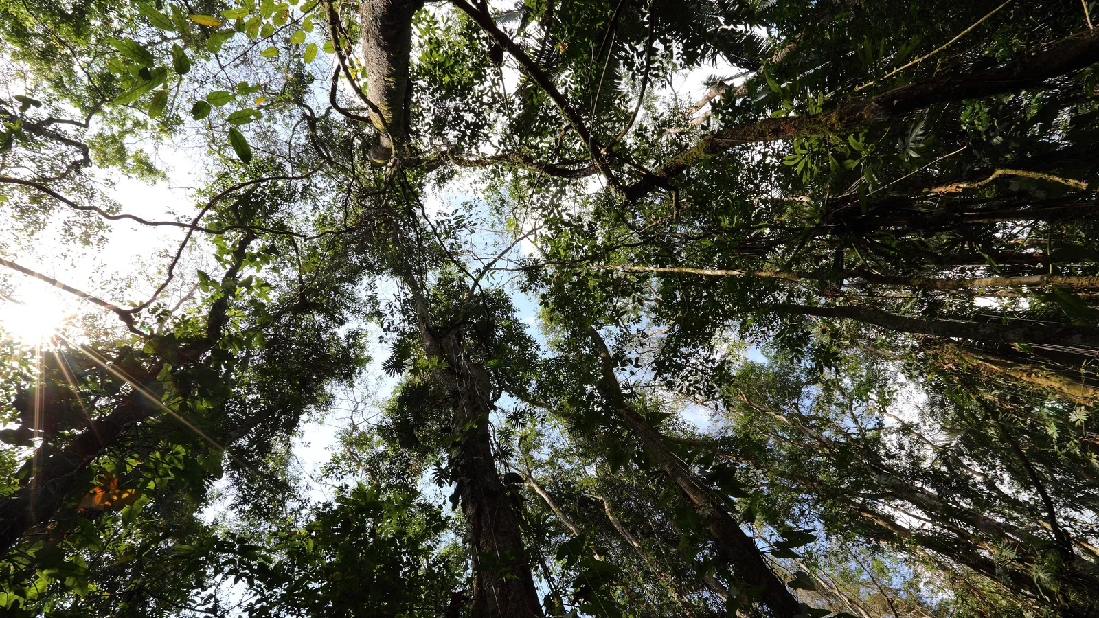
Cockscomb Basin Wildlife Sanctuary sits in a bowl of forested hills in the Stann Creek District, backed by the Maya Mountains and the long ridge of Victoria Peak. It was set aside in the 1980s as the world's first protected area created specifically for jaguars, and it is still managed with that mission in mind. For visitors, that means a large tract of broadleaf forest, a network of well-marked trails, two genuinely good waterfall hikes, and a basecamp area quiet enough that you hear the forest rather than other people.
It also means a drive. The sanctuary is not somewhere a shuttle drops you for an hour. Getting there, and getting out again at your own pace, is most of what makes the visit work.
Where is Cockscomb Basin and how do you get there?
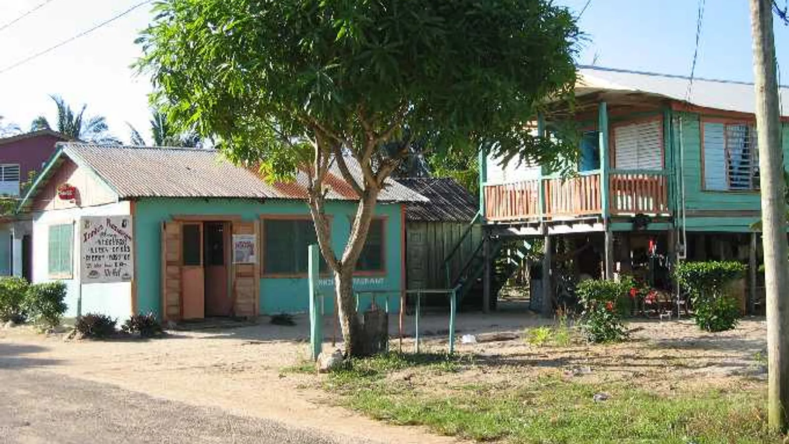
The turn-off is at Maya Centre, a Mopan Maya village on the Southern Highway roughly twenty-odd miles south of Dangriga. From Placencia or Hopkins you are looking at an hour or so each way, depending on where you start on the peninsula. From San Ignacio, allow most of a morning: the Western Highway to Belmopan, then the Hummingbird Highway down through the Maya Mountain foothills to the coast, then south. Call it around three hours with stops, more if there is road work on the Hummingbird, which there often is.
At Maya Centre you stop, pay the entrance fee at the craft centre by the junction, and turn inland. Fees are collected there rather than at the sanctuary gate, so do not drive past. Rates change, so check the current amount when you arrive.
If you are planning a wider southern loop, the general driving and entry notes on our practical Belize travel page cover licences, fuel, currency and the basics of getting around the highways.
What is the access road from Maya Centre actually like?
This is the part people underestimate. From the village to the sanctuary visitor centre is roughly six miles of unpaved road. It is maintained, and in dry conditions a careful driver in an ordinary car can sometimes get through, but "sometimes" is doing a lot of work in that sentence.
Typical conditions to plan for:
- Loose limestone and gravel with washboard sections that rattle a low car badly
- Potholes and ruts that deepen through the rainy season, roughly June to November
- One or more shallow stream crossings with concrete fords, which can rise quickly after heavy rain upstream
- Soft, slick clay in patches after a downpour, even when the sky has cleared
- Overhanging vegetation and blind bends where you want to be going slowly anyway
None of it is technical four-wheel-drive terrain in normal conditions. What it demands is ground clearance, decent tyres and patience. Twenty to thirty minutes for those six miles is normal and sensible.
This is exactly the kind of road our fleet of SUVs is kept for. A 2017 Jeep Cherokee handles the ruts and the fords comfortably with room for daypacks and wet boots in the back, and a 2015 Jeep Compass is a sensible choice for two or three people who want something a little lighter on fuel. If you are travelling as a group of six or more and want everyone in one vehicle, the 2008 Ford Expedition seats eight.
The waterfall trails
There are a dozen or so trails radiating from the visitor centre clearing, most of them short loops of under an hour. Two are the reason most people come.
Tiger Fern Trail
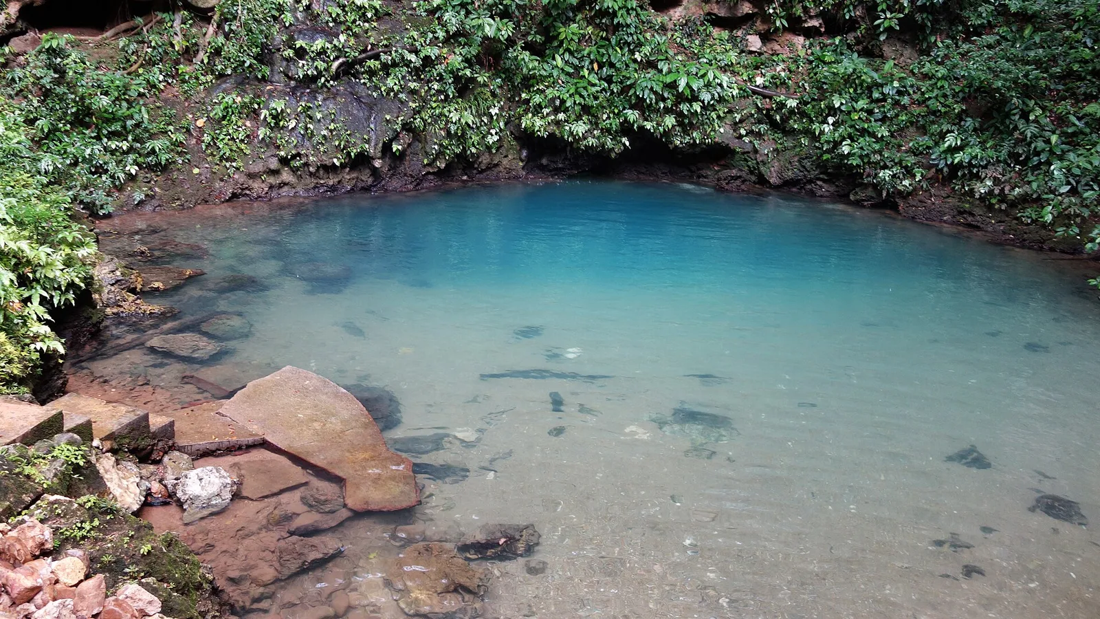
The Tiger Fern is the headline hike: a steady, sweaty climb up a ridge, with a viewpoint partway along that opens out over the basin towards Victoria Peak on a clear morning. Past the top the trail drops down a side path to a twin waterfall with a plunge pool cold enough to be a genuine reward.
It is not long in distance but it is relentlessly uphill on the way out, with steps and roots and a surface that turns greasy when wet. Most reasonably fit walkers take two to three hours return including swimming time. Start early. The heat in the middle of the day on an exposed ridge is the main reason people turn back.
Ben's Bluff Trail
Ben's Bluff is the other climb, shorter than the Tiger Fern but steep, ending at a bluff with a long view across the forest canopy. Many people combine it with the trail down to the Tiger Fern junction or with one of the river paths for a swim afterwards.
The easy ones
If you would rather stroll than climb, the River Path, the Rubber Tree Trail, the Wari Loop and the Antelope Trail are mostly flat, shaded and well signed. The South Stann Creek river near the basecamp has shallow pools that are perfect at the end of a hot walk, and there are usually inner tubes available to rent at the visitor centre for a float.
The multi-day trek to Victoria Peak is a different proposition entirely: a guided expedition with permits, typically only in the dry season. If that is your plan, arrange it well in advance with a licensed operator.
What wildlife will you realistically see?
Be honest with yourself about the jaguars. The sanctuary protects a significant population and camera traps record them regularly, but they are nocturnal, wide-ranging and shy. Visitors almost never see one. What you will often see is a print in the mud on the access road, which is its own kind of thrill.
What you can genuinely expect:
- Birds, in quantity. Hundreds of species have been recorded here. Keel-billed toucans, oropendolas with their hanging nests, trogons, hummingbirds and, if you are lucky and looking up, a king vulture.
- Howler monkeys, more often heard than seen, roaring at dawn and before rain.
- Agoutis and other rodents trotting across the clearing around the cabins.
- Collared peccary sign, armadillo diggings, coati tracks.
- Frogs, snakes, iguanas and an enormous variety of insects and butterflies.
- Tapir tracks along muddy river margins, with occasional sightings at dawn or dusk.
The single best way to improve your odds is to be there at first light or at dusk, which in practice means either staying overnight in the sanctuary's cabins or campground, booked through the managing conservation organisation, or driving in very early. A vehicle of your own makes the early start possible.
Hiring a local guide from Maya Centre village transforms what you notice. Guides know the current fruiting trees, the roost sites and the sign on the trail that you would walk straight past. Arrange it at the craft centre when you pay your fee.
Plan for and bring
- Closed hiking shoes with grip, plus sandals for the river
- Insect repellent, more than you think, and long sleeves for dusk
- At least two litres of water per person; there is no shop on the trails
- Lunch and snacks, since food is not reliably available at the sanctuary
- Swimwear and a quick-dry towel
- Binoculars and a dry bag for the camera
- Cash in Belize dollars for the entrance fee and the guide
- A full tank before you leave Dangriga, Placencia or Independence
Making it part of a southern road trip
Cockscomb pairs naturally with Hopkins, Placencia and the Hummingbird Highway, and it is an easy detour on the way south to Punta Gorda. Because we offer pick-up and drop-off at the international airport, Belize City, Dangriga, Hopkins, Placencia and elsewhere, you can start the loop wherever it suits your flights. Rentals include third-party insurance and unlimited mileage within Belize, so a long day of back roads costs you nothing extra.
We are a family business based on Benque Viejo Road in San Ignacio, and the same workshop that keeps the fleet running also handles towing, recovery and freight and rents tables, chairs and tents for events, so there is always someone to call if a trip takes an unexpected turn.
When you have your dates, send us a reservation request and we will come back to you by phone or email with availability and price. There is no online payment and no booking fee. If you would rather talk it through first, including whether your route suits a small SUV or something larger, get in touch and we will give you a straight answer.
Frequently asked questions
Do you need a 4x4 to reach Cockscomb Basin Wildlife Sanctuary?
Not strictly, but you want ground clearance. The road from Maya Centre to the visitor centre is roughly six miles of unpaved limestone with potholes, washboard and one or more shallow stream crossings. A low car can struggle, especially in the rainy season, so most visitors are far more comfortable in an SUV.
Will I see a jaguar at Cockscomb Basin?
Almost certainly not. Jaguars are present and are recorded on camera traps, but they are nocturnal, wide-ranging and avoid people, so sightings by day visitors are extremely rare. What you can realistically expect is excellent birding, howler monkeys, agoutis, tracks in the mud and a very good chance of tapir or peccary sign.
Where do you pay the entrance fee for Cockscomb Basin?
Fees are collected at the craft centre in Maya Centre village, at the junction with the Southern Highway, not at the sanctuary itself. Stop there before turning onto the access road. Rates can change, so confirm the current fee when you arrive and bring Belize dollars in cash.
Can I visit Cockscomb Basin as a day trip from Placencia or Hopkins?
Yes, and many people do. Allow around an hour or so of driving each way from either, plus twenty to thirty minutes on the access road. Leave early, because the Tiger Fern waterfall hike takes most of a morning and the climb is far more pleasant before the heat builds.