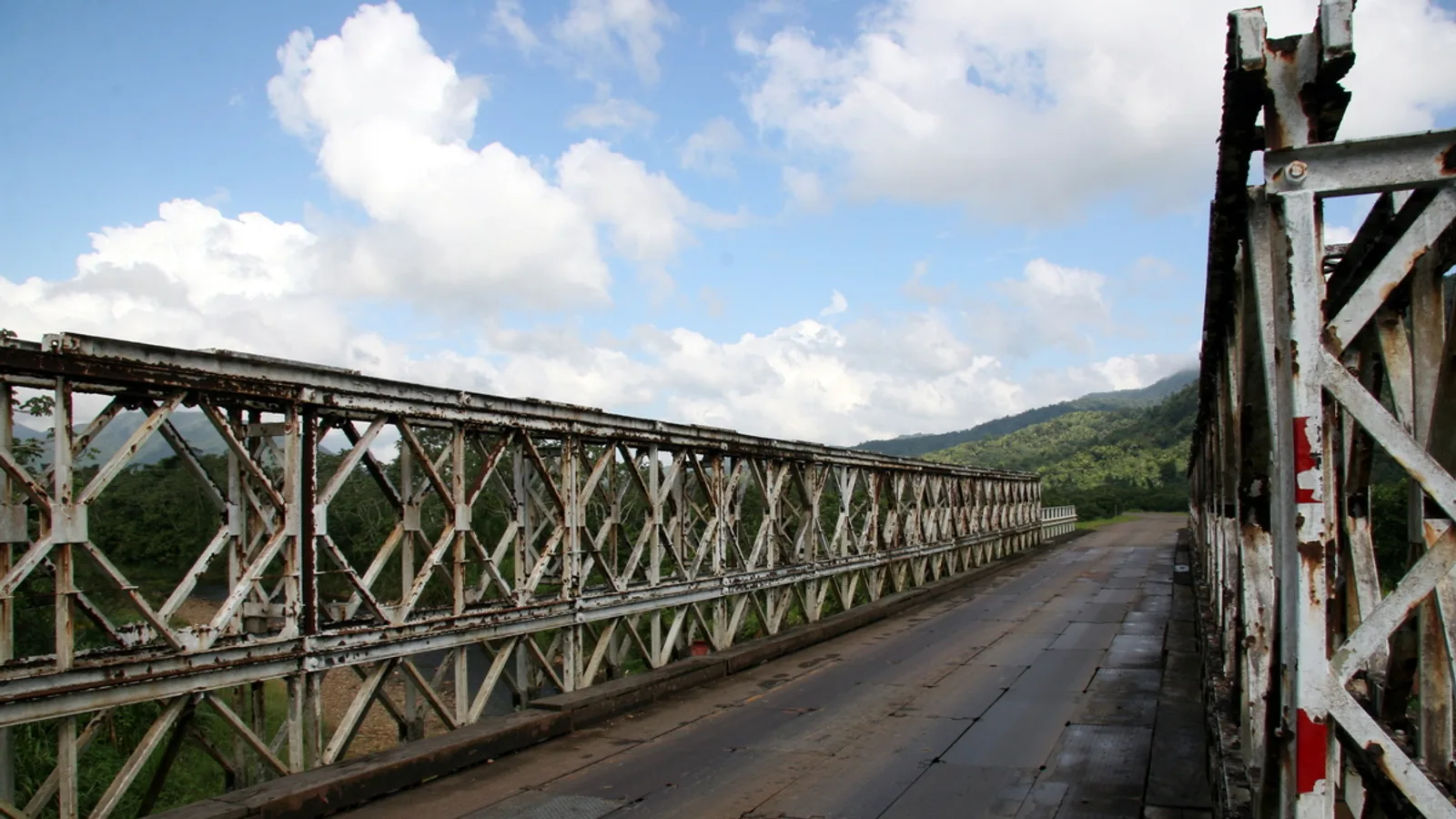
Most people cross the country in a hurry. The Hummingbird Highway is the one stretch of Belizean road that deserves the opposite treatment. Running roughly 55 miles from Belmopan down to Dangriga, it climbs through limestone karst hills, drops into the Sibun valley, skirts the northern edge of the Maya Mountains and finally spills out into citrus country and the Caribbean coast. You can drive it in under two hours. You should give it a day.
This is also a road that makes the case for having your own vehicle better than any sales pitch could. Buses run it, but they stop where bus routes stop, not where the waterfall trailhead is, not at the fruit stand with the best watermelon, and not at the viewpoint where the Sleeping Giant ridge lines up perfectly against the morning haze.
Where the Hummingbird Highway starts and ends
The highway officially begins in Belmopan, at the junction with the George Price Highway, and runs southeast to Dangriga on the coast. From San Ignacio, you are looking at something like 45 minutes to an hour to reach the Belmopan junction before the Hummingbird even starts, depending on traffic through Santa Elena and the roundabouts at the capital.
At the Dangriga end, the road meets the Southern Highway, which is where you turn if you are carrying on to Hopkins, Sittee River, Placencia or Punta Gorda. Plenty of travellers treat the Hummingbird as the first leg of a longer run south rather than a destination in itself. It works either way.
If this is your first drive in the country, it is worth reading through the practical Belize travel notes on entry requirements, licences, currency and local driving habits before you set off.
How long does it take to drive the Hummingbird Highway?
Non-stop, allow somewhere around an hour and a half to two hours between Belmopan and Dangriga, more if there is road work or heavy rain. The distance is short but the road is not fast: it bends constantly, climbs and drops, and passes through villages with speed bumps that will punish anyone not paying attention.
With stops, the realistic figures look like this:
- Half a day: one main stop, usually Blue Hole National Park, plus a fruit stand and a photo or two.
- Full day: two or three stops, a swim, lunch in Dangriga or a village along the way.
- Two days: stay somewhere in the Stann Creek valley or near Dangriga and come back the next morning at a different light.
Our honest advice is to start early. Morning light in the karst hills is the best of the day, the swimming holes are quieter, and you avoid the risk of finishing the drive after dark.
What should you stop for along the Hummingbird Highway?
St. Herman's Blue Hole National Park
The best known stop, not far out of Belmopan. The inland Blue Hole is a collapsed karst sinkhole fed by an underground river, deep turquoise-green and genuinely cold. The same park protects St. Herman's Cave, which you enter on foot down a stone stairway into a river passage. Some cave sections require a guide and a light; entrance fees are collected at the visitor centre, so check the current rate and the rules on cave access when you arrive. There is parking at both the Blue Hole and the cave entrances.
Billy Barquedier National Park
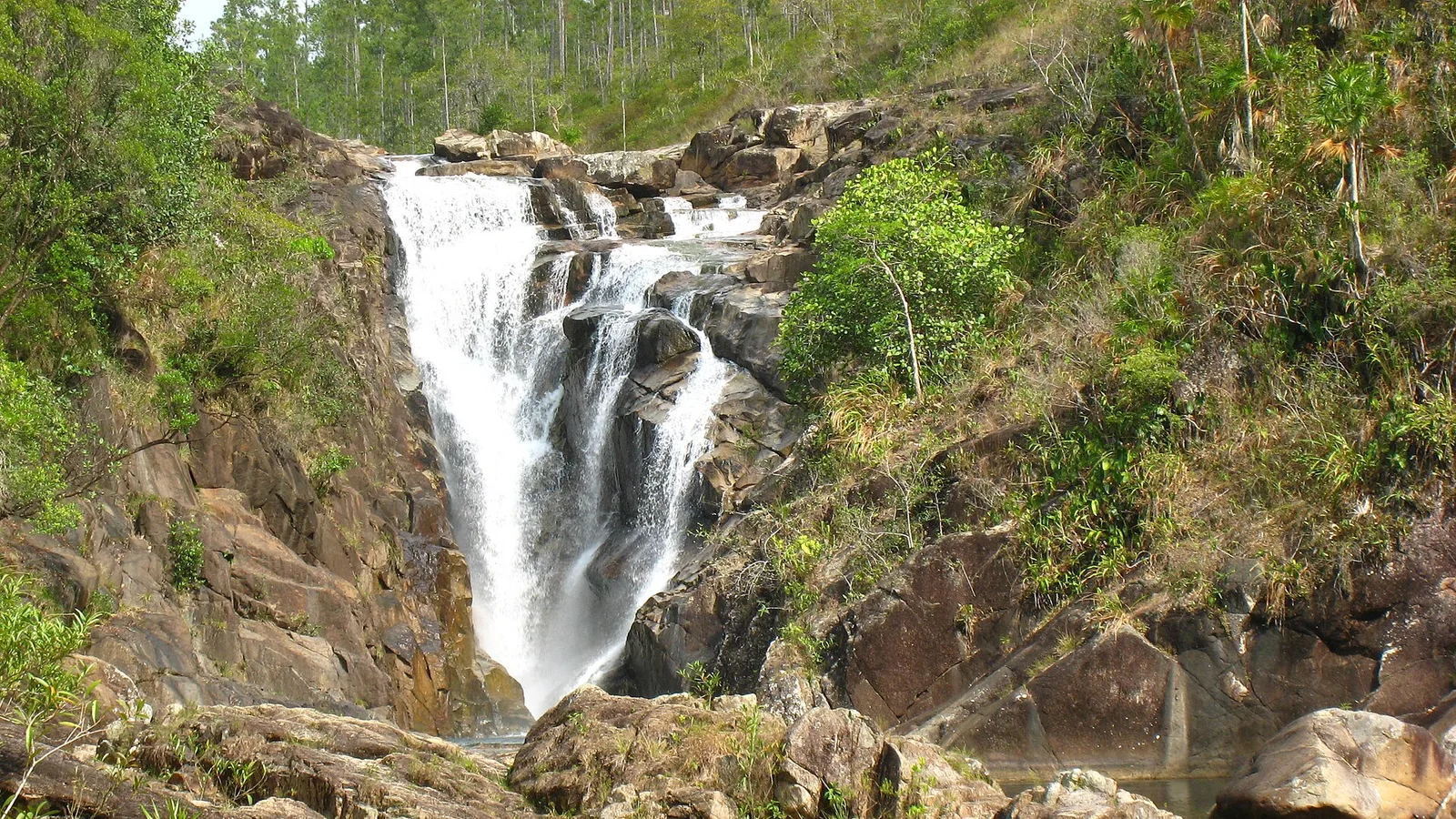
Further south, past the high point of the road, this community-managed park has a short forest trail to a waterfall and pool. The access track off the highway is unsealed and can be soft after rain. It is the kind of stop that rewards a vehicle with reasonable ground clearance.
Five Blues Lake and the St. Margaret's turn
The turn-off towards St. Margaret's village leads inland to Five Blues Lake National Park. The lake has had a dramatic history, including a famous drainage event, and park facilities have come and gone over the years. The road in is rough limestone and gravel. Ask locally in St. Margaret's about current access before committing to the drive.
Over the Top and the valley views
Near the highest point of the highway there are pull-offs where the land falls away towards the Stann Creek valley. On a clear morning you can see a long way across the citrus. There is a small roadside stop here that has served cold drinks to travellers for years, but do not count on fixed hours.
Citrus country and Marie Sharp's
As you descend, orange and grapefruit groves take over the valley. Belize's famous habanero pepper sauce is made in this area, off the highway near Dangriga; factory visits are sometimes possible, so enquire ahead rather than turning up expecting a tour.
Dangriga
The Garifuna cultural capital of Belize, with drumming, a working fishing waterfront and good, unfussy food. It is a town rather than a resort, and better for it.
Is the Hummingbird Highway safe to drive?
It is a paved, well-travelled national highway and typically in decent condition, but it demands attention. The things to know:
- Blind curves and crests. Overtaking is risky on much of the route. Be patient behind trucks.
- Speed bumps. Villages use them heavily, and they are not always well marked or painted. Slow down on every approach to houses.
- Rain. Heavy rain brings standing water, loose gravel washed onto the surface and occasional slips on the cut banks.
- No lighting. There is effectively no street lighting outside towns. Pedestrians, cyclists and dogs use the shoulder after dark.
- Fuel and signal. Fill up in Belmopan or Dangriga. Stations in between are limited, and mobile coverage drops out in the hill sections.
If something does go wrong on a quiet stretch, our family also runs towing, recovery and freight services, and the numbers to call are on our contact page.
What kind of vehicle suits this drive?
The highway itself is fine in any car. The stops are not. Park access tracks, village side roads and the turn-offs towards Five Blues Lake and Billy Barquedier are unsealed, and after rain they turn to mud and ruts. Ground clearance is what matters here, far more than four-wheel drive.
For couples and small groups, a compact SUV such as the 2015 Jeep Compass handles the climbs and the rough access roads comfortably while staying easy on fuel. Families who want more room for cool boxes, snorkel gear and a few days of luggage tend to prefer the 2017 Jeep Cherokee. If you are travelling as an extended family or a group heading on to Hopkins or Placencia, the eight-seat 2008 Ford Expedition swallows people and bags without anyone riding with a bag on their lap. You can compare everything available across our full fleet, and every rental includes third-party insurance and unlimited mileage within Belize.
Plan for: a Hummingbird Highway day
- Swimsuit and a quick-dry towel. The Blue Hole and the waterfalls are the point.
- Water shoes or sandals with grip for wet limestone and cave steps.
- A torch or headlamp if you intend to go into St. Herman's Cave.
- Insect repellent, especially for forest trails late in the day.
- Cash in Belize dollars for park entrances, fruit stands and village shops.
- A full tank of fuel before you leave Belmopan.
- A paper note of your route; signal is patchy in the hills.
Pacing it properly
The mistake most visitors make is treating the Hummingbird as a transfer. Leave San Ignacio by eight, be at Blue Hole National Park mid-morning, swim, carry on with a stop for fruit or a cold drink at the high ground, reach Dangriga for a late lunch, then decide whether to turn back or push on to the coast. That rhythm leaves room for the unplanned stop, which on this road is usually the best one.
We are a family business in San Ignacio, well placed for the northern end of the highway, and we can also meet you at the international airport, Belize City, Belmopan, Dangriga, Hopkins or Placencia. When you know your dates, send us a reservation request and we will confirm availability and price by phone or email. No online payment, no booking fee, just a straight answer from the family.
Frequently asked questions
How long is the Hummingbird Highway and how long does the drive take?
The highway runs roughly 55 miles between Belmopan and Dangriga. Driving straight through typically takes an hour and a half to two hours, depending on traffic, road work and weather. With stops at Blue Hole National Park and a waterfall or two, most travellers find it fills a comfortable full day.
Do I need a four-wheel drive for the Hummingbird Highway?
No. The highway itself is paved and suitable for any vehicle. However, several of the best stops are reached by unsealed access tracks that get rough and muddy after rain, so an SUV with decent ground clearance makes the day far easier. Our fleet is made up of SUVs and a 12-seat van for that reason.
Can I drive the Hummingbird Highway after dark?
It is better not to. There is essentially no street lighting outside towns, the road has many blind curves and crests, and speed bumps in villages are not always clearly marked. Pedestrians, cyclists and animals also use the shoulder at night, so plan to finish the drive before dusk.
Where can I pick up a rental vehicle for this trip?
Cayo Auto Rentals is based at 89 Benque Viejo Road in San Ignacio, which sits about an hour from the Belmopan end of the highway. We also arrange pick-up and drop-off at the international airport, Belize City, Belmopan, Dangriga, Hopkins, Placencia and other towns. Send a reservation request and the family will confirm availability and price by phone or email.