Driving to Placencia is one of the better road trips in Belize, and it is one of the few long drives in the country where the journey genuinely competes with the destination. You leave the limestone hills around Belmopan, drop into the citrus and banana country of the Stann Creek valley, meet the sea at Dangriga, then run south along the coast before turning onto a narrow sand spit with the Caribbean on one side and a lagoon on the other. Done without rushing, with a couple of stops, it is a half-day of very good scenery.
It is also a drive that rewards having your own vehicle. Buses and shuttles get you to the village, but the peninsula is sixteen-odd miles long, the good restaurants and beaches are spread along it, and the things worth seeing on the way south only work if you can stop when you want to.
How long does it take to drive to Placencia?
From San Ignacio, plan on roughly four hours of actual driving, a little more if you stop. From Philip Goldson International Airport, figure somewhere around three and a half to four hours. Those are honest estimates rather than promises: road works on the Southern Highway, a slow truck on the Hummingbird, or a long lunch in Dangriga can all move the number.
The route is simple enough to hold in your head:
- San Ignacio to Belmopan on the George Price Highway, about an hour of easy four-lane and two-lane driving.
- Belmopan to Dangriga on the Hummingbird Highway, the prettiest stretch in the country, winding through the Maya Mountains foothills.
- Dangriga south on the Southern Highway, past the Hopkins and Sittee River turnoffs, to the Riversdale junction.
- Riversdale down the peninsula through Maya Beach and Seine Bight to Placencia Village at the very tip.
If you are coming from the airport, you can skip Belize City entirely by taking the highway west toward Belmopan and then turning south. There is no reason to drive through Belize City on this trip.
What is the Hummingbird Highway like to drive?
The Hummingbird is a paved two-lane road with real curves, real climbs and some genuinely steep descents toward the southern end. It is in reasonable shape as a rule, but it demands attention: blind bends, the occasional washout patch after heavy rain, dogs, and cyclists on the shoulder. Drive it in daylight and you will enjoy every mile of it.
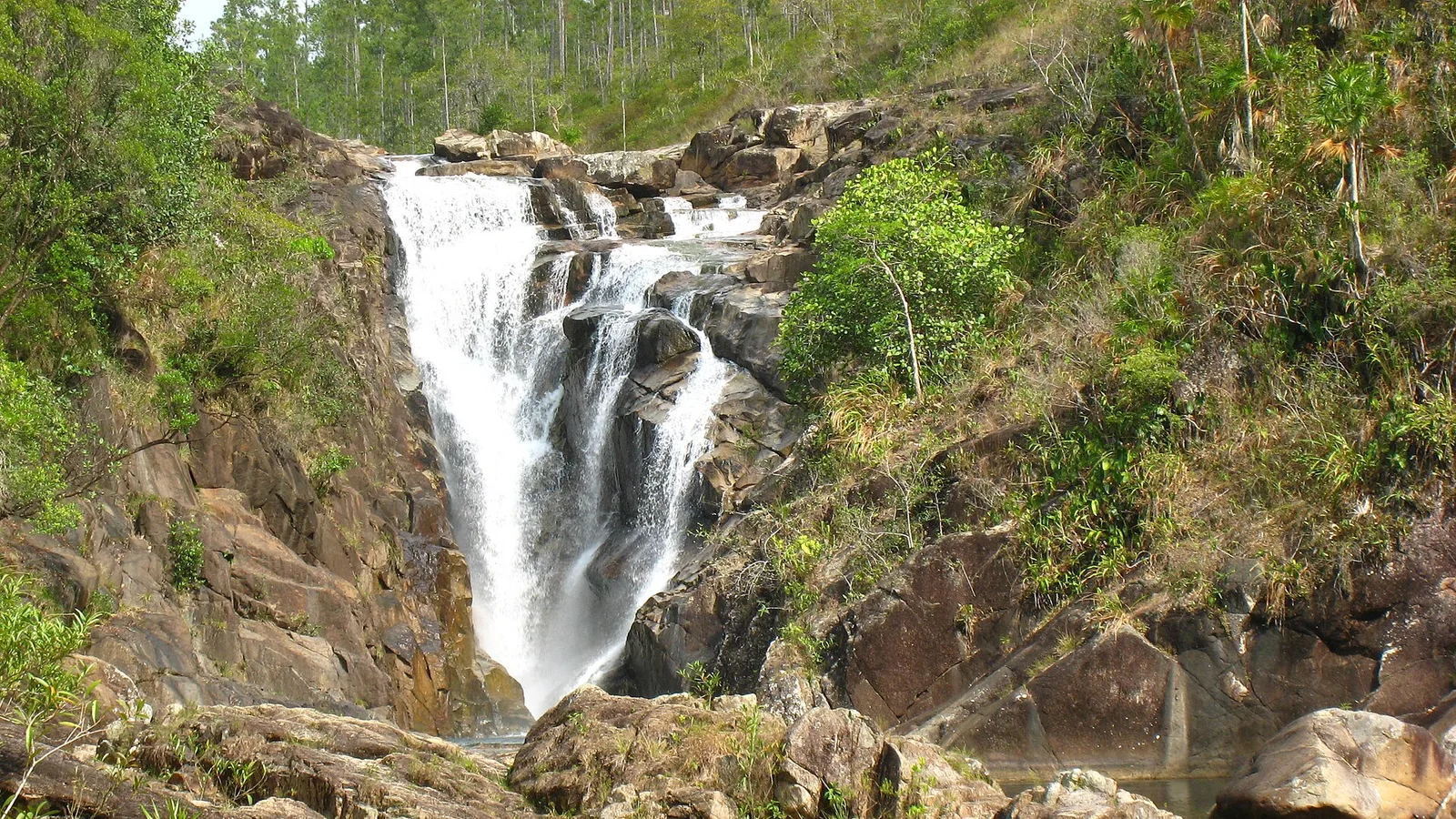
Worthwhile stops along the way include St. Herman's Blue Hole National Park, with its inland swimming hole and cave, and Billy Barquedier National Park further south, where a short trail leads to a waterfall. Entrance fees are collected at the park gates and change from time to time, so check the current rate when you arrive. Both have small car parks right off the highway, which is exactly the kind of spontaneous stop a bus cannot make.
As you come down into the Stann Creek valley the landscape changes completely: citrus groves, banana plantations and the smell of orange peel from the processing plants. Near the bottom of the valley, roadside stalls sell fruit, cashew wine in season and homemade hot sauce.
Dangriga and the Southern Highway
Dangriga is the Garifuna cultural heart of Belize and a sensible place to stretch your legs, fill the tank and buy whatever you forgot. Fuel is reliably available here, and it is the last large town before the peninsula, so top up even if you do not strictly need to.
South of Dangriga the Southern Highway is flat, straight and generally well surfaced, running through pine savanna and farmland with the Maya Mountains blue in the west. Watch for speed bumps through villages like Hopkins Junction, Silk Grass and Maya Centre; they are frequent and some are unmarked. You will also pass the turnoff for Mayflower Bocawina National Park and the junction for Hopkins, both of which make easy detours if you have time.
About an hour and a bit south of Dangriga, depending on conditions, you reach the signed turn for Riversdale and the Placencia peninsula.
What is the Placencia peninsula road like now?
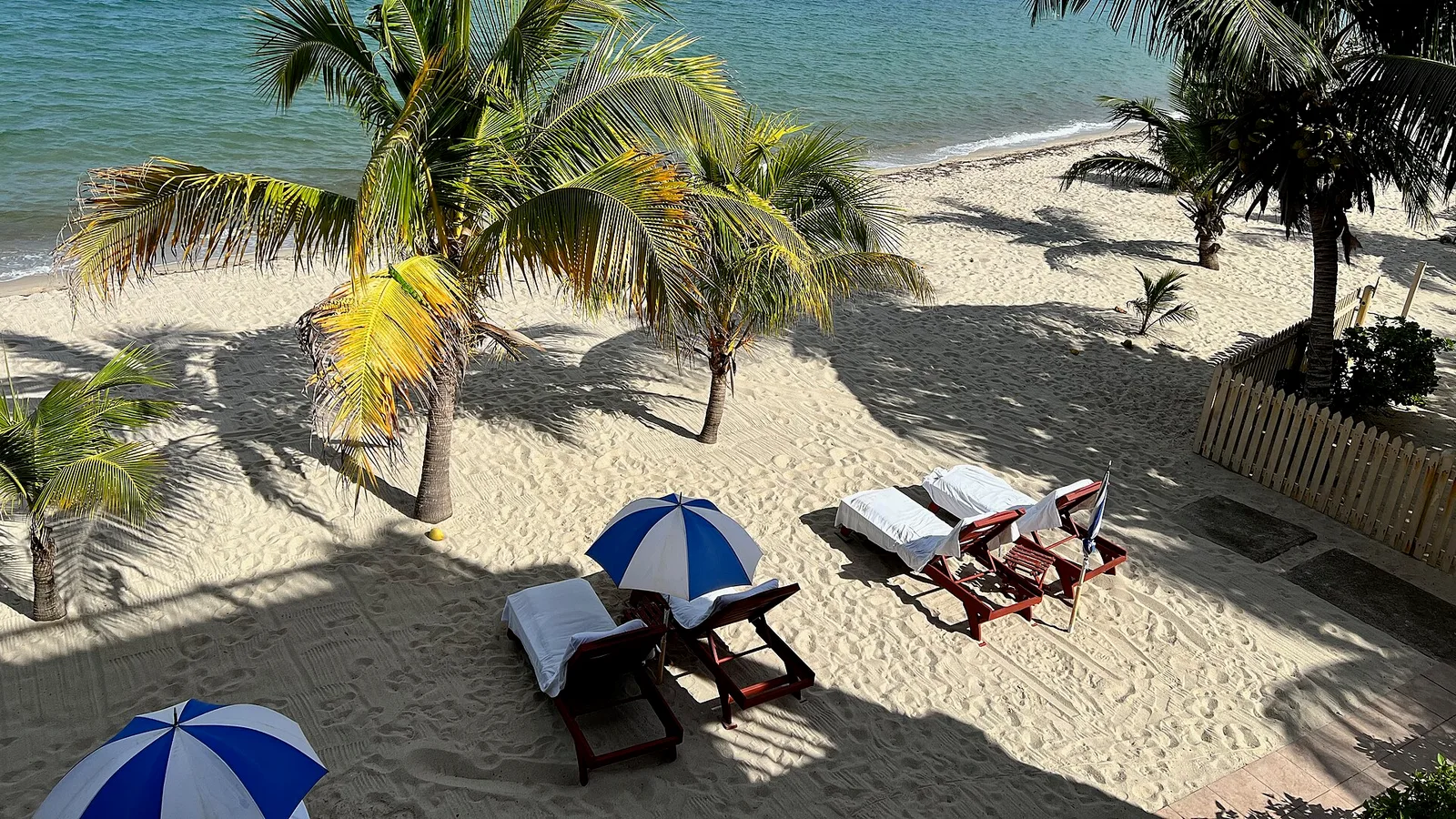
This is the part that used to frighten people. For years the peninsula was a rutted sand-and-gravel track that chewed up suspension and turned to soup in the rain. That is history. The peninsula road is now paved its full length from the Riversdale junction to Placencia Village, and for the most part it is a pleasant, narrow strip of tarmac with water on both sides.
A few honest caveats. The road is narrow with soft sandy shoulders, so pulling over to let a truck past needs care. There are speed bumps through Maya Beach and Seine Bight, and people, dogs and bicycles share the road through the villages. Some side roads off the main strip, including the lanes down to individual resorts and beach houses, remain sand or gravel and can get soft or puddled after rain. Nothing extreme, but a vehicle with decent ground clearance makes those last two hundred yards to your rental house a non-event.
At the southern end, Placencia Village itself is compact. There is parking at the main pier, near the sidewalk and at most restaurants, though it tightens up in high season and around Lobsterfest.
Why your own vehicle changes a beach trip
Staying at Maya Beach and wanting dinner in the village means a sixteen-mile round trip. Wanting breakfast at a bakery, lunch at a beach bar and sunset somewhere else means three. Taxis exist, and golf cart rentals are common, but neither gets you back up the Southern Highway to Mayflower, Red Bank, or the Cockscomb Basin Wildlife Sanctuary, which is roughly an hour north of the junction and is the best jaguar-habitat reserve in the region.
A mid-size SUV is the sweet spot for this trip. Something like the 2017 Jeep Cherokee handles the Hummingbird comfortably, swallows beach gear and copes with sandy resort access lanes without drama. Travelling as a group of six or seven, the 2008 Ford Expedition or one of the seven-seat Explorers on our fleet page makes more sense than splitting across two cars. Couples and small families do perfectly well in a 2015 Jeep Compass.
Plan for
- A full tank leaving Belmopan or Dangriga; stations are fewer south of the valley
- Daylight driving, particularly on the Hummingbird, where unlit curves are the norm
- Cash in Belize dollars for park gates, roadside fruit and small village shops
- Reef-safe sunscreen, a dry bag and a hat for boat trips out to the cayes
- Insect repellent for sand flies, which are a genuine feature of peninsula beaches
- Your driving licence, passport and rental paperwork kept together in the vehicle
First-time drivers in Belize should have a quick read of our practical Belize travel notes, which cover entry requirements, fuel, currency and the basics of driving here. Rentals come with third-party insurance and unlimited mileage, so the long run south costs you nothing extra beyond fuel. If anything does go wrong on the road, our towing and recovery services operate nationwide.
Making it a loop
Placencia does not have to be an out-and-back. From the village you can take the Hokey Pokey water taxi across to Independence, or drive south to Punta Gorda, or run north to Hopkins and Sittee River for a night of drumming and Garifuna food before heading home. Because pick-up and drop-off are available in San Ignacio, Belize City, Belmopan, Dangriga, Hopkins, Placencia and Punta Gorda, you can also drive one way and leave the vehicle at the coast.
When you have your dates, send us a reservation request and the family will confirm availability and price by phone or email. There is no online payment and no booking fee. If you would rather talk it through first, including whether to go south via Hopkins or straight down, get in touch by phone or WhatsApp and we will give you a straight answer.
Frequently asked questions
Is the road to Placencia paved all the way?
Yes. The George Price, Hummingbird and Southern Highways are paved, and the peninsula road from the Riversdale junction down to Placencia Village has been paved for some years now. Some side lanes off the peninsula road leading to individual resorts and beach houses are still sand or gravel and can soften after rain, which is where a little ground clearance helps.
How long is the drive from San Ignacio to Placencia?
Roughly four hours of driving, allowing a bit more if you stop at Blue Hole National Park or in Dangriga. Road works on the Southern Highway or slow traffic on the Hummingbird can add time, so it is wise to leave with daylight to spare rather than plan a tight arrival.
Do I need a 4x4 to visit Placencia?
A 4x4 is not essential for the main route, as the highways and the peninsula road are sealed. A mid-size SUV is still the most comfortable choice for the curves of the Hummingbird Highway, the luggage of a beach holiday, and the sandy access lanes at many peninsula properties.
Can I pick the vehicle up at the airport and drop it in Placencia?
Yes. Cayo Auto Rentals offers pick-up and drop-off at Philip Goldson International Airport and at a number of locations including San Ignacio, Belmopan, Dangriga, Hopkins and Placencia. Mention the locations you want when you send your reservation request so the family can confirm availability and price.