Driving to Caracol is the longest day trip most visitors make in Belize, and the one people talk about afterwards. The site sits deep inside the Chiquibul Forest Reserve in the far south of Cayo District, well beyond the last village, the last shop and the last bar of mobile signal. You climb out of the Macal valley, cross the pine ridge, drop into broadleaf jungle, and eventually arrive at the largest Maya city ever recorded in Belize. It is a long morning in the vehicle, and it is worth it.
Why Caana is worth the long drive
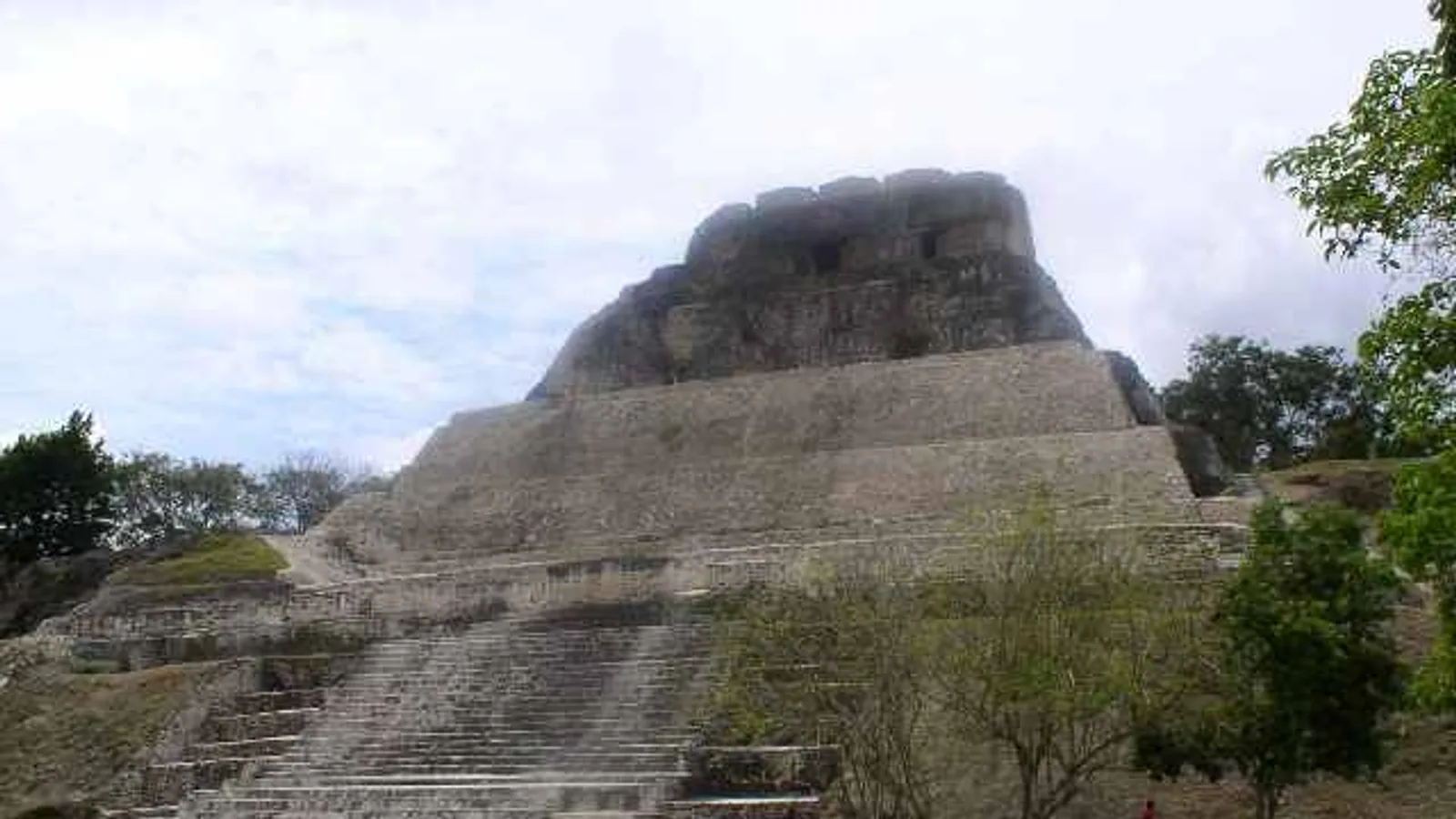
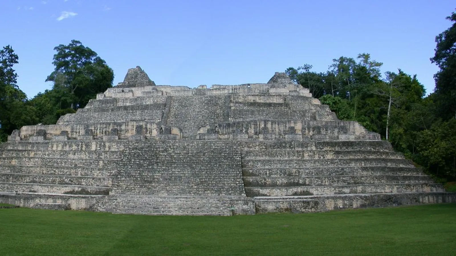
Caana means Sky Place, and it is the reason most people come. The structure rises roughly 43 metres, around 140 feet, from its plaza floor and is still routinely described as the tallest man-made structure in the country. It is not a single pyramid but a palace complex stacked on a huge platform, with three temples on top and residential courtyards tucked between them.
You can climb it. The steps are steep and uneven in places, and the view from the upper terraces is unbroken forest in every direction, with the Maya Mountains on one horizon. There are no towns in sight, no power lines, nothing to tell you what century it is.
Caracol was far more than one building. Archaeologists have mapped plazas, ball courts, reservoirs and a network of raised causeways running out into the surrounding forest, and estimate the city supported a population in the tens of thousands at its height. Carved monuments at the site record a victory over Tikal in the sixth century, which is a remarkable thing to read about while standing in what is now near-empty jungle.
What strikes most visitors is the quiet. Caracol receives a fraction of the traffic that Xunantunich or Altun Ha see, simply because of how far it is. On a weekday you may share the whole site with two or three other groups. Expect howler monkeys, ocellated turkeys strutting across the plazas, toucans and a great deal of birdsong.
How long does it take to drive to Caracol from San Ignacio?
Plan on roughly two and a half to three hours each way from San Ignacio, depending on conditions, how recently the road has been graded, and how often you stop. That is not a distance problem. It is a surface problem.
The route runs south from the Western Highway at Georgeville, or via Cristo Rey and San Antonio, up into the Mountain Pine Ridge Forest Reserve, past the forestry station at Douglas D'Silva, then on along the Chiquibul Road to the site. There are reserve gates where you sign in, and gate times apply, so confirm current opening and closing times locally before you set out. Rangers will usually want you heading back out well before dark.
An early start is not a suggestion. Leaving San Ignacio by 6:30 or 7:00 AM gives you the cool part of the morning for the drive, the best wildlife activity at the site, and a comfortable margin to be back off the Chiquibul Road before evening. Leave at 10:00 AM and the day becomes a rush.
What is the road to Caracol like?
Typically, it is a mix. Sections through the pine ridge and along the Chiquibul Road have been upgraded and paved in recent years, and more work has been ongoing, so you may find long stretches of good surface. Other sections remain unsealed limestone and dirt with washboard corrugations, exposed rock, and ruts that deepen after heavy rain.
Things to expect on a typical run:
- Steep grades and tight bends through the pine ridge, with loose gravel on the corners
- A few shallow water crossings and dips that fill after rain
- Dust in the dry season and slick clay patches in the wet
- No fuel, no mechanic and no shops once you pass the forest reserve gate
- Patchy to non-existent mobile signal for most of the route
- A Belize Defence Force presence in the area; arrangements for visitor movement have changed over the years, so ask at your hotel or at the gate what the current procedure is
In the rainy season, roughly June through November, the final stretch can be genuinely rough and occasionally impassable after a big storm. Ask locally the day before. People in San Ignacio who run this road regularly will give you a straight answer.
What kind of vehicle do you need for the Caracol road?
A high-clearance SUV, with no real debate about it. A low saloon car will scrape, struggle on the grades and leave you nervous for three hours in each direction. Several rental agreements in Belize also exclude this road for small cars, so check before you commit to anything low-slung.
For a couple or a family of four, something like the 2017 Jeep Cherokee handles the mix of highway, pine ridge gravel and rough limestone comfortably, with room for cool boxes and camera gear. If you are travelling as a larger group and want everyone in one vehicle rather than splitting across two, the eight-seat 2008 Ford Expedition has the clearance and the space for it. You can compare the full range on our fleet page and ask us which unit is best suited to the Chiquibul run on the dates you are travelling.
One honest note: this road is hard on tyres. Check your spare before leaving San Ignacio, know where the jack is, and drive at a pace that lets you read the surface ahead. Our rentals include third-party insurance and unlimited mileage within Belize, and we also run towing and recovery if a day out ever goes sideways.
Plan for the day
- Fuel up in San Ignacio or Santa Elena before you head south; there is nothing after that
- Water, more than you think, plus lunch and snacks
- Sturdy shoes with grip for the Caana steps
- Insect repellent, sun hat and sunscreen
- Cash in Belize dollars for the entrance fee, collected at the visitor centre; check the current rate on arrival
- A downloaded offline map, since signal disappears early
- A light rain layer in the wet season
Worthwhile stops on the way back
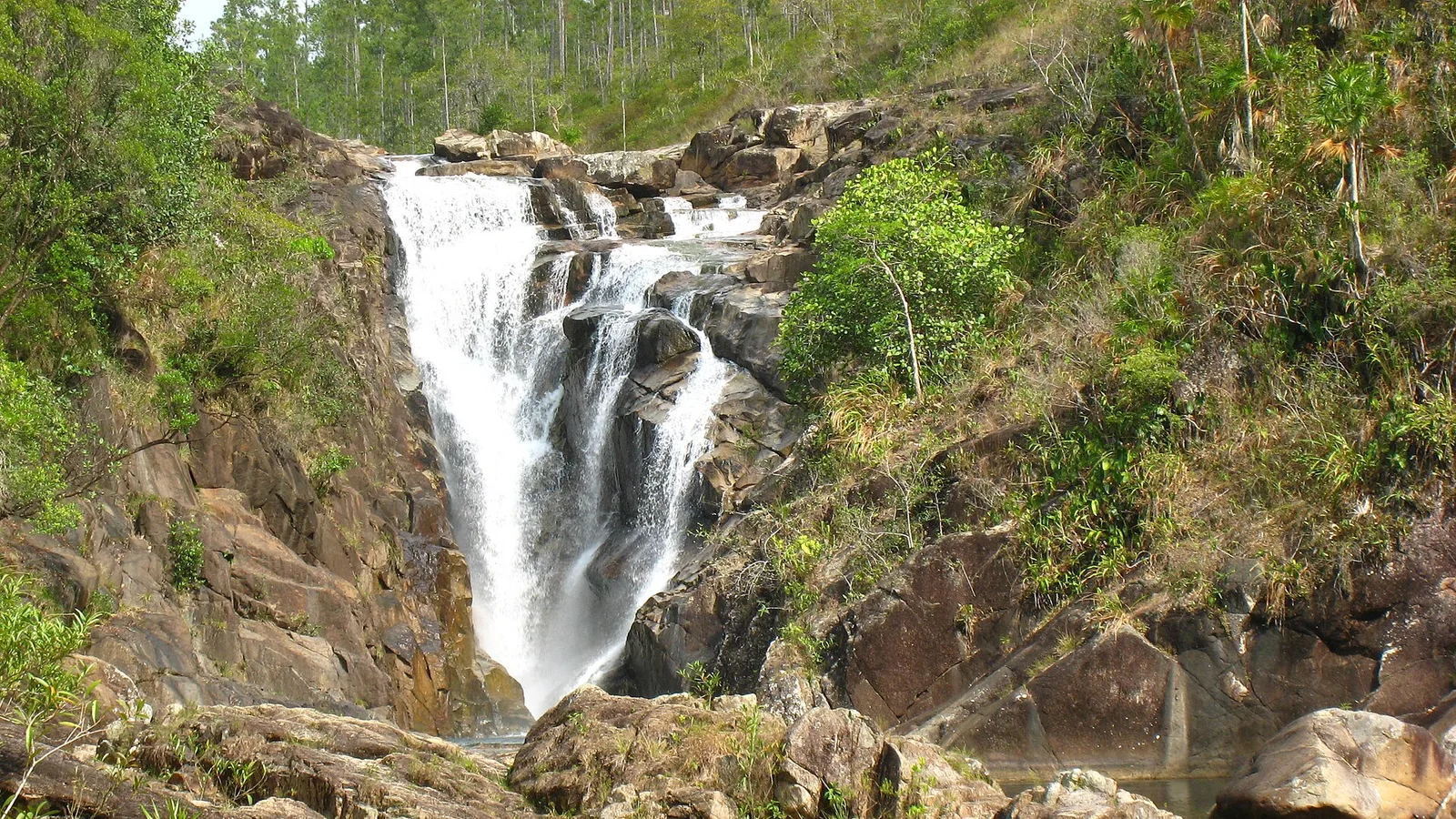
The Mountain Pine Ridge is a destination in its own right, and the stops sit right on your route. Rio On Pools is a series of granite pools and natural slides that make an excellent cool-off on the way home. Rio Frio Cave near Douglas D'Silva is a huge river-carved cavern you can walk into without a guide or a helmet. Big Rock Falls is the dramatic one, with a steep stairway down to a plunge pool.
Do these on the return leg. Caracol first, while the morning is cool and the site is empty, then swim your way back north.
Making the trip simple
Tours to Caracol run from San Ignacio and are a fine option, but they are fixed in time and route. With your own vehicle you leave when you want, stay on Caana as long as you want, and stop at every pool on the way back. The same vehicle then takes you to Xunantunich, Barton Creek, Hopkins or the Hummingbird Highway on the days that follow.
We are a family business on Benque Viejo Road in San Ignacio, about as close to the Caracol route as a rental desk gets. We deliver and collect anywhere in Belize, including the international airport, and our Belize travel information page covers entry requirements, driving rules and currency before you arrive. If you are also planning a wedding, reunion or village event while you are here, we rent tables, chairs and tents as well.
Tell us your dates and we will tell you honestly what the road has been like that week. Send a reservation request or reach us by phone and WhatsApp through our contact page, and we will sort out the right vehicle for the Chiquibul.
Frequently asked questions
Can you drive to Caracol in a rental car without a tour?
Yes, visitors regularly drive themselves to Caracol. You will pass forest reserve gates where you sign in, and gate opening and closing times apply, so confirm the current times locally before setting out. Arrangements for visitor movement in the Chiquibul have changed over the years, so it is worth asking at your hotel or at the gate what procedure is in place on the day.
Do I need a 4x4 to reach Caracol?
A high-clearance SUV is the sensible choice. Parts of the route have been paved in recent years, but other sections remain unsealed limestone and dirt with ruts, loose gravel and steep grades. Low saloon cars struggle, and in the rainy season the final stretch can be rough or temporarily impassable after heavy storms.
How long is the drive to Caracol from San Ignacio?
Allow roughly two and a half to three hours each way, depending on road conditions, recent grading and how often you stop. An early start matters: leaving San Ignacio around 6:30 to 7:00 AM gives you cool driving conditions, the quietest time at the site and plenty of margin to be back off the Chiquibul Road before dark.
Is there fuel, food or phone signal on the way to Caracol?
No. Fill the tank in San Ignacio or Santa Elena and carry your own water and lunch, because there are no shops, fuel stations or mechanics once you pass into the forest reserve. Mobile signal drops out early on the route, so download an offline map before you leave town.