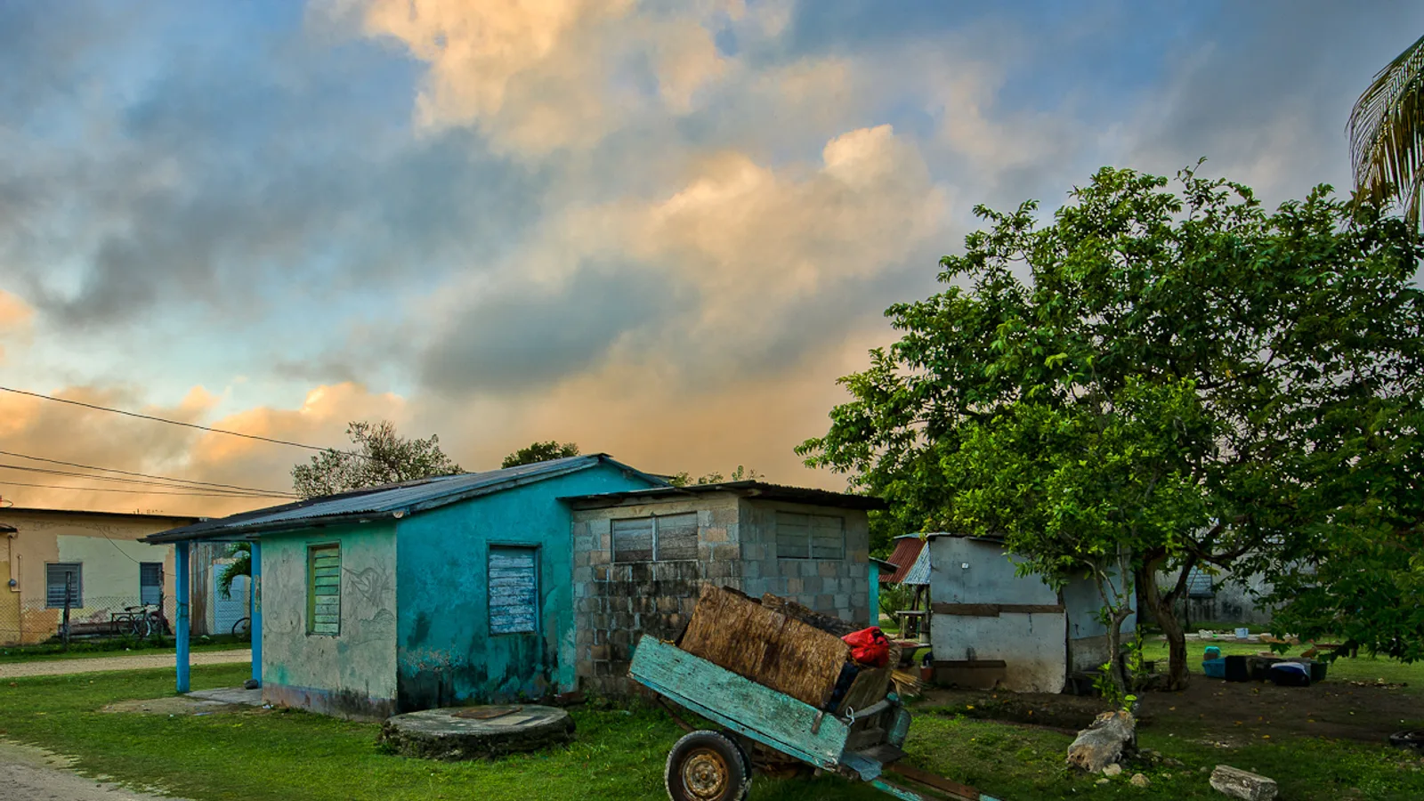
Most visitors to Belize never make it to Sarteneja, and that is the whole point of going. Sarteneja Belize sits on a shallow turquoise bay at the far northeastern tip of the country, a Spanish and Yucatec-speaking fishing village of wooden houses, boat yards and an unhurried seafront. Getting there takes a deliberate decision and a few hours behind the wheel, because the village is at the end of a long road through sugar cane and savanna rather than on the way to anywhere else.
About three miles before you reach the village you pass Shipstern Nature Reserve, one of the largest protected areas in northern Belize and one of the best birding sites in the country. Together they make a genuinely rewarding two-day trip out of the north, and a trip that is far simpler with your own vehicle than with buses.
Where Sarteneja sits, and why the road matters
Sarteneja is in Corozal District, on a peninsula that juts out between Chetumal Bay and the Shipstern Lagoon. Look at a map and it appears tantalisingly close to Corozal Town across the water, and close to Ambergris Caye across the bay. By road it is neither. Every driving route involves heading inland first, then back out along the peninsula through the villages of Progresso, Copper Bank and Chunox.
That detour is the reason Sarteneja feels the way it does. The village grew up facing the sea rather than the highway. Fishermen here historically sailed hand-built wooden sloops out to the cayes for a week at a time, and boat building is still part of local life. You will usually see hulls under repair along the shore and skiffs pulled up on the sand.
How do you drive to Sarteneja?
There are two road routes, and which one you choose depends on where you are starting and how much time you have.
The Orange Walk route
This is the main road and the one most people use. From Orange Walk Town you cross east toward San Estevan, then run north through Progresso and Chunox before the final stretch into Sarteneja. It is roughly 40 miles from Orange Walk, and depending on surface conditions you should budget somewhere in the region of an hour and a half, give or take.
Much of this road has been upgraded in recent years and large sections are now paved, but surfaces in this part of the country change with the works programme and the weather. Expect stretches of good asphalt, stretches of compacted material, and the occasional unannounced pothole. Drive it in daylight if you can.
The Copper Bank route and the Pueblo Nuevo ferry
If you are coming from Corozal Town or the Mexican border, the shorter line on the map runs south to the Pueblo Nuevo crossing, where a small cable ferry hauls vehicles across the New River, then on through Copper Bank and Chunox.
It is a lovely bit of Belize and the crossing itself takes only a few minutes. Two cautions, though. The ferry operates in daylight hours only and can be out of service for maintenance or high water, so ask locally in Corozal before committing to it. And the road on either side is generally rougher than the Orange Walk route, with unpaved sections that turn slow and slippery after heavy rain.
Coming from San Ignacio or the airport
From San Ignacio you would normally run east along the Western Highway, past Belmopan, then north on the Philip Goldson Highway through Orange Walk. It is a long day, realistically four hours or so of driving before you add stops, so many people break the trip. The Community Baboon Sanctuary at Bermudian Landing sits conveniently off that northern run and makes a good morning stop. If you are starting at the international airport, you are already well positioned, since the airport is on the northern side of Belize City and Cayo Auto Rentals delivers vehicles there as well as to Corozal, Orange Walk and the San Ignacio office.
For entry requirements, driving licence rules and currency notes, our practical Belize travel information page covers the basics before you set off.
What is Shipstern Nature Reserve like?
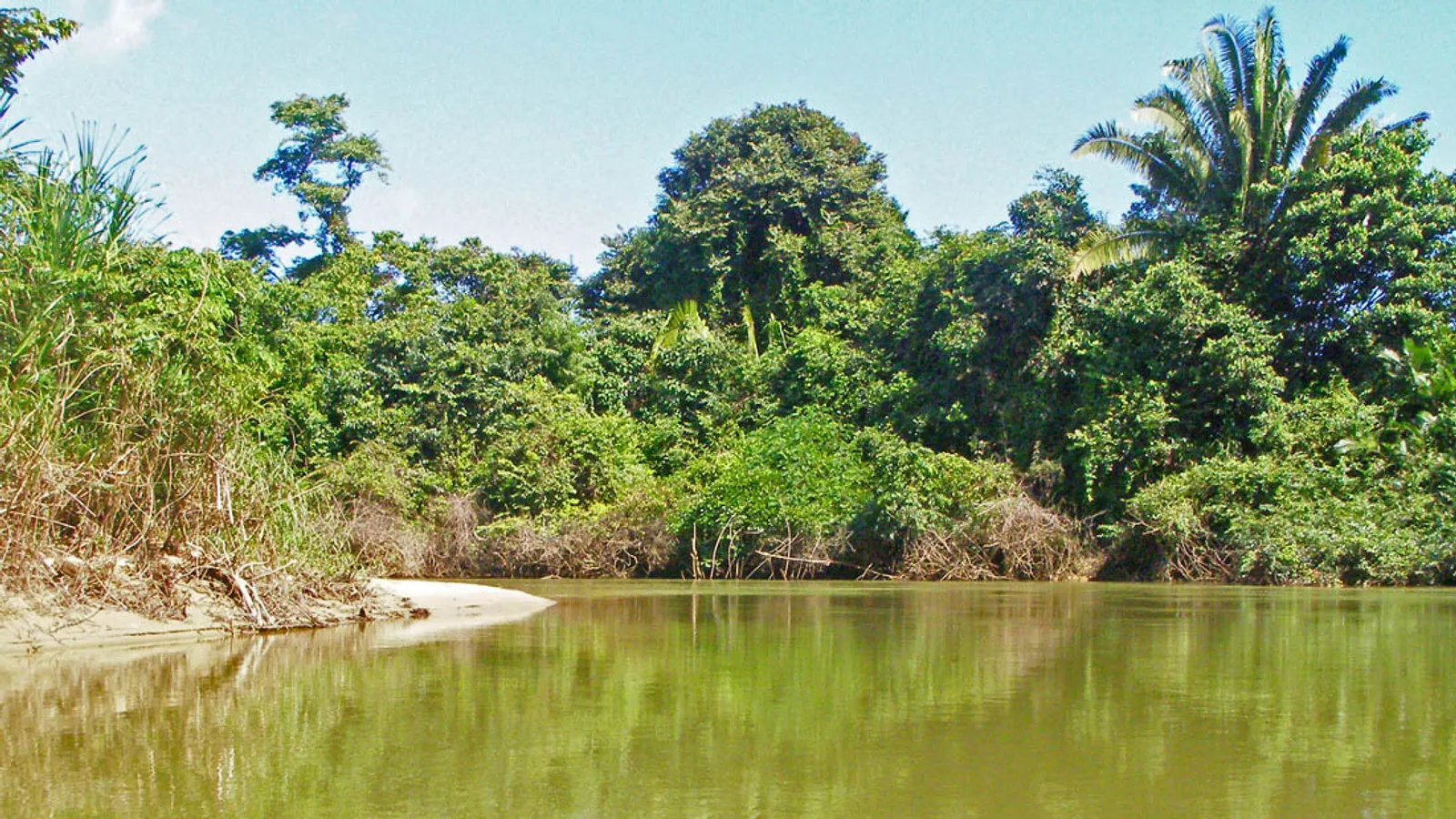
Shipstern, also known as the Shipstern Conservation and Management Area, protects a large block of semi-deciduous forest, saline lagoon and mangrove just short of the village. It is managed by a Belizean conservation organisation with a visitor centre near the entrance on the main road, and entrance fees are collected there. Check the current rate and opening times when you arrive or ring ahead, as both are set by the managers rather than by us.
What you get for the effort:
- Birds, in quantity. The reserve's bird list runs into the hundreds of species. The lagoon edge draws waders, herons and sometimes flamingo-pink spoonbills, while the forest trails hold trogons, motmots and woodpeckers.
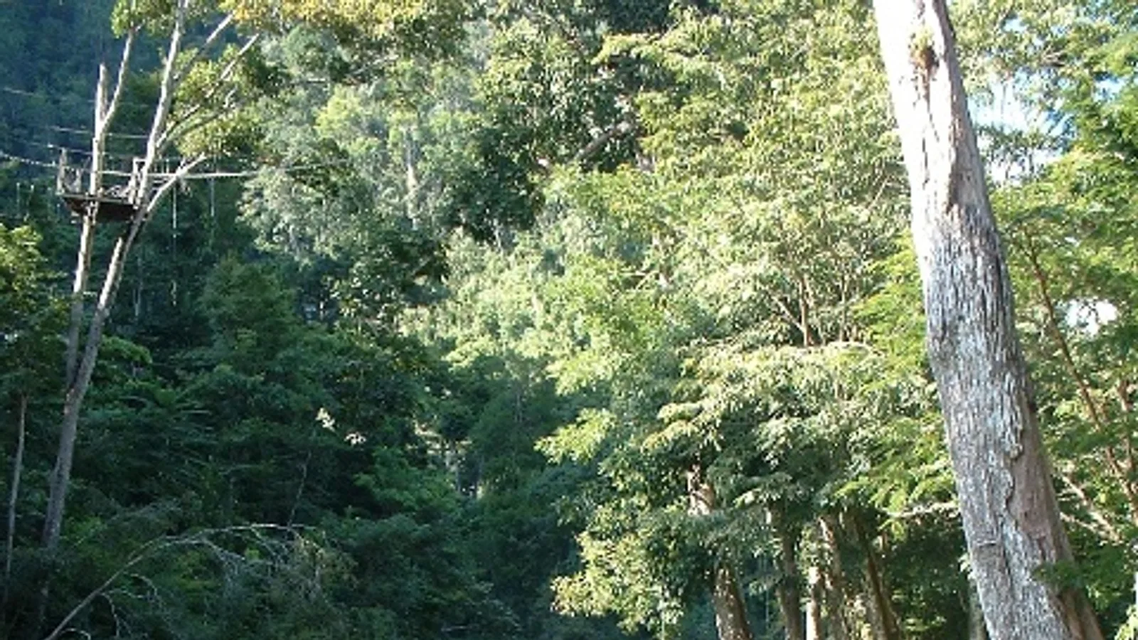
- An observation tower with a long view over the Shipstern Lagoon and the forest canopy, which is worth the climb early in the morning.
- A botanical trail near the visitor centre where native trees are labelled, which is the single easiest way to learn what you have been driving past all week.
- Butterflies and dragonflies in notable numbers, especially after rain.
- Mammals, if you are lucky and quiet. Yucatan black howler monkeys, coatis, deer and, in the deeper reserve, cats and tapir that almost nobody sees.
Guides can usually be arranged at the visitor centre and are worth taking if birds are your reason for coming. Trails are mostly flat but the heat is real; mornings are far better than afternoons.
Birders who enjoy Shipstern often pair it with the southern lowlands later in the trip, in which case our guide to birding along the Sittee River near Hopkins covers the other end of the country.
The village itself
Sarteneja is small, flat and walkable. The seafront road is the centre of gravity, with a long pier, a few restaurants serving fish and lobster in season, and shops that keep village hours. Accommodation is limited to guesthouses and small lodges, so book ahead rather than turning up hopeful on a Saturday afternoon.
This is also a launching point for boat trips into Chetumal Bay and north toward Bacalar Chico, arranged locally with boat owners. Those are independent operators; we rent vehicles, not tours, so ask at your guesthouse for current contacts and pricing.
What kind of vehicle do you want for this drive?
You do not need serious off-road capability, but you do want ground clearance, decent tyres and air conditioning. The paved sections are fine for anything; the unpaved sections, the ferry approach and the village's sand-and-gravel streets are much more comfortable in an SUV.
For two or three people with luggage and binoculars, a 2015 Jeep Compass or one of the Patriots handles this route well. If you are travelling with family or want the extra space for a long northern loop, the 2017 Jeep Cherokee is the comfortable choice, and the 2008 Ford Expedition seats eight for group trips. The full range of SUVs and vans is on our fleet page, and every rental includes third-party insurance and unlimited mileage within Belize.
Plan for
- A full tank from Orange Walk or Corozal. Fuel in the villages is limited and should not be relied on.
- Cash in Belize dollars. Card acceptance in Sarteneja is patchy.
- Insect repellent, especially near the lagoon and mangrove edges.
- Water, a hat and sun protection for the tower and trails.
- Binoculars, which transform a Shipstern visit.
- A daylight arrival, particularly if you are taking the ferry route.
When to go
The drier months, roughly from late winter into spring, give the most reliable road surfaces and the best lagoon birding as water levels drop. The wet season is greener and quieter but the unpaved sections take longer and the Copper Bank route can get sticky. Whenever you go, allow more time than the map suggests.
Ready to go north
Sarteneja rewards people who are willing to drive to the end of the road. If you want a vehicle waiting at the airport, in Corozal or at our San Ignacio office, send us a reservation request with your dates and we will confirm availability and price by phone or email. You can also reach the family directly through our contact page on WhatsApp if you would rather talk it through first.
Frequently asked questions
Can you drive to Sarteneja in a normal car?
Often yes, since much of the main road from Orange Walk has been upgraded and paved. However, surfaces vary with weather and road works, and the Copper Bank approach includes unpaved stretches. An SUV with good ground clearance is the safer and far more comfortable choice, especially in the rainy season.
How long does it take to drive to Sarteneja from Belize City?
Allow roughly three hours from the Belize City area, going north on the Philip Goldson Highway to Orange Walk Town and then east and north through Progresso and Chunox. Add time for stops, slow sections and any road works. Drive it in daylight rather than arriving after dark.
Does the Pueblo Nuevo ferry carry cars to Copper Bank?
Yes, a small cable ferry crosses the New River at Pueblo Nuevo and takes vehicles. It runs in daylight hours only and can be out of service for maintenance or high water, so ask locally in Corozal Town before you commit to that route. Have a plan to go via Orange Walk instead if it is down.
What is there to do at Shipstern Nature Reserve?
Shipstern offers forest and lagoon trails, a botanical trail with labelled native trees, and an observation tower looking out over the Shipstern Lagoon. It is best known for birding, with a list running into the hundreds of species. Entrance fees and opening times are set by the managing organisation at the visitor centre, so confirm the current details when you arrive.